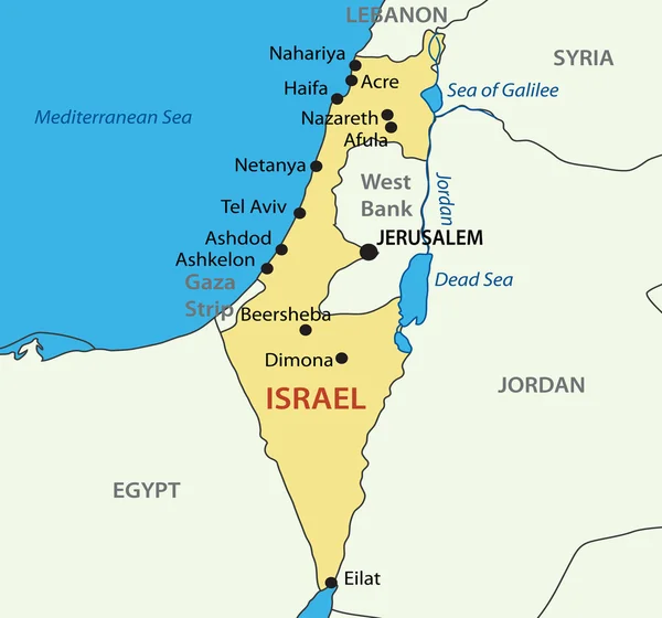
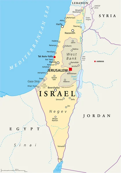
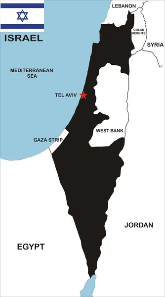
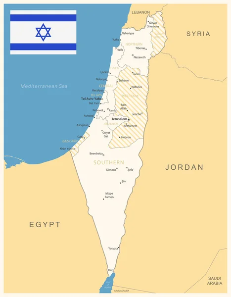
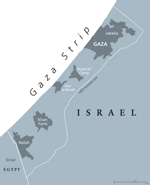
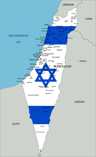
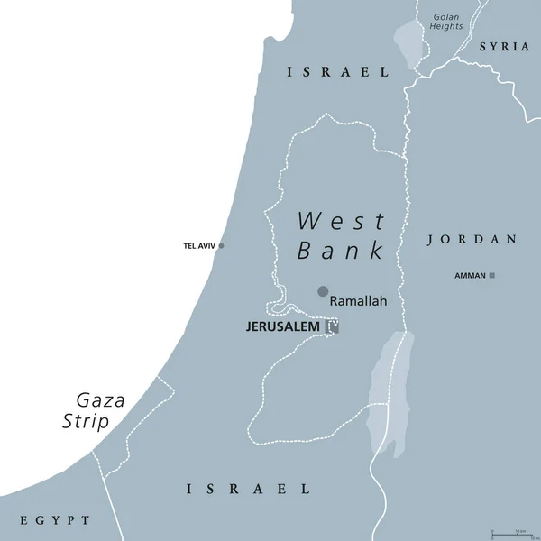
Stock vector West Bank and Gaza Strip political map
Published: Jul.10, 2017 12:42:58
Author: Furian
Views: 126
Downloads: 0
File type: vector / eps
File size: 2.97 MB
Orginal size: 8033 x 8033 px
Available sizes:
Level: silver