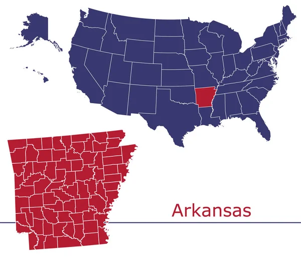
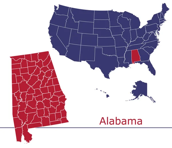
Stock vector Stroke Belt, or Stroke Alley, political map. Region of 11 states in the Southeastern United States that has been recognized for having an unusually high incidence of stroke and cardiovascular disease.

Published: Jun.26, 2024 15:47:42
Author: Furian
Views: 0
Downloads: 0
File type: vector / eps
File size: 3.03 MB
Orginal size: 8247 x 6000 px
Available sizes:
Level: silver