Home
Images
Vectors
Videos
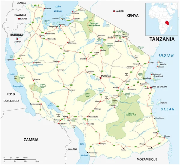
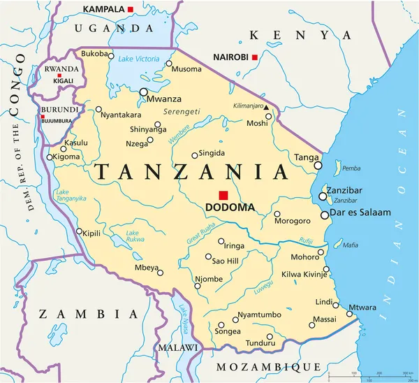
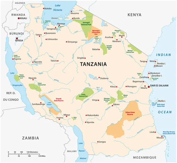
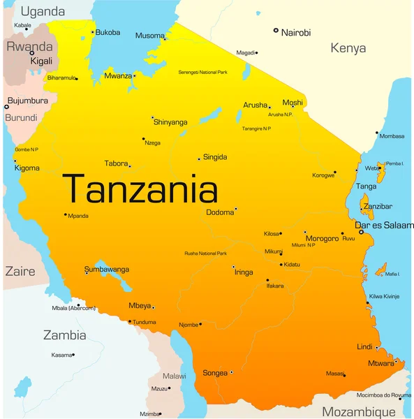
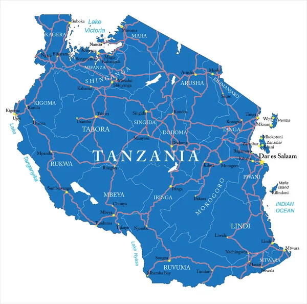
Stock vector Tanzania detailed vector map with country borders, county names, main roads and a highly detailed state silhouette.
Published:
Jul.06, 2020 09:00:58
Author:
BogdanSerban
Views:
7
Downloads:
0
File type:
vector
/
eps
File size:
1.8 MB
Orginal size:
5000
x
4956
px
Available sizes:
S
(500 x 496)
M
(1000 x 991)
L
(2000 x 1982)
XL
(5000 x 4956)
VECT
(5000 x 4956)
EL0
(5000 x 4956)
Level:
beginner
Download Vector
Vector topics:
Vector
Background
Illustration
Travel
Silhouette
Border
Road
City
Outline
Country
Map
Cartography
Geography
Africa
Continent
Destination
Eps
Tanzania
Zanzibar
Dodoma
Kilimanjaro
Dar Es Salaam
Lake Victoria
Lake Tanganyika
Lake Nyasa
Similar stock vectors
Blue-gray Detailed Map Of Tanzania Administrative Divisions And Location On The Globe. Vector Illustration
5198 × 6129
Vector Dotted Map Of Tanzania Isolated On White Background .
5000 × 5000
Roads And National Park Vector Map Of Tanzania
4592 × 4218
Tanzania Political Map
8533 × 7799
National Park Vector Map Of The East African State Of Tanzania
4588 × 4214
Tanzania
3370 × 3407
Tanzania Political Map
8333 × 7601
United Republic Of Tanzania - Vector Map
3809 × 4079