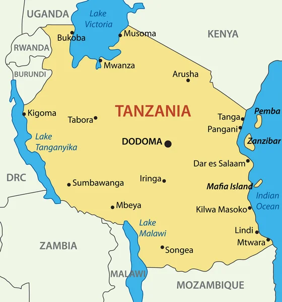
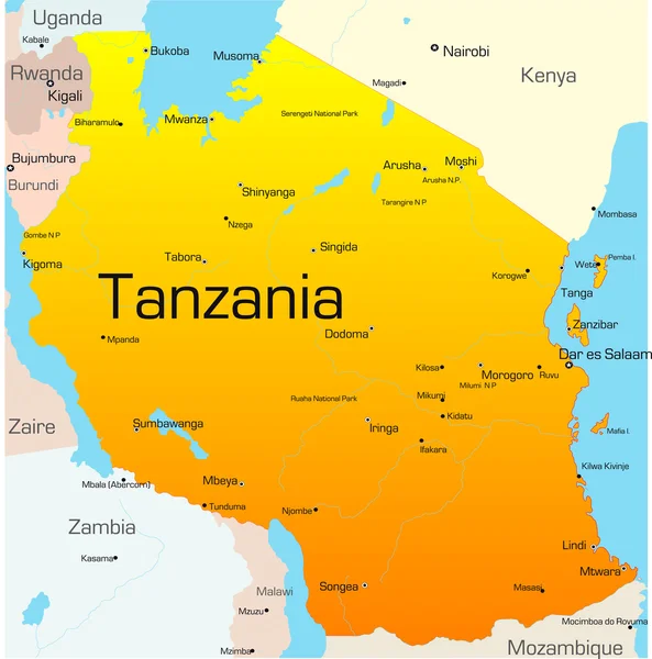
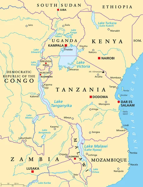
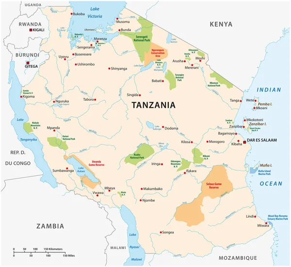
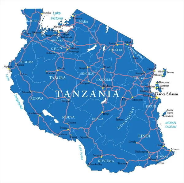
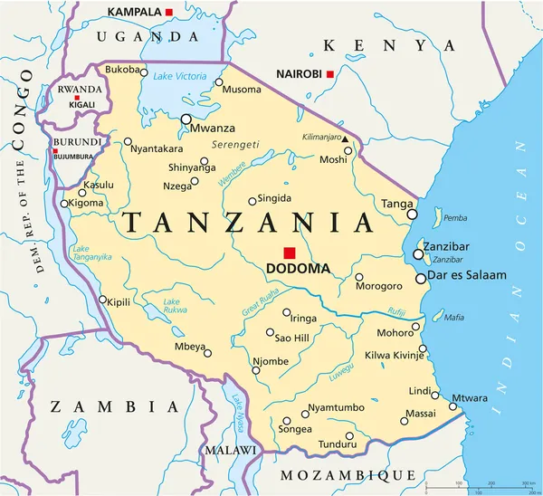
Stock vector Tanzania Political Map
Published: Aug.27, 2013 05:45:22
Author: Furian
Views: 2519
Downloads: 46
File type: vector / eps
File size: 1.29 MB
Orginal size: 8533 x 7799 px
Available sizes:
Level: silver