Home
Images
Vectors
Videos
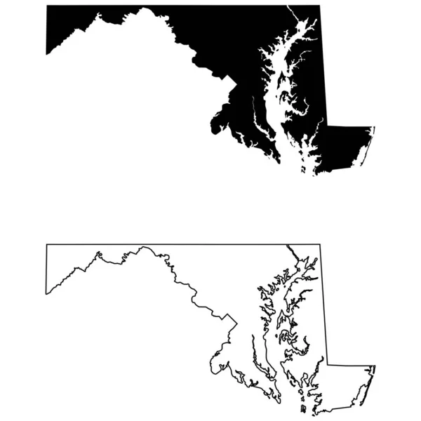
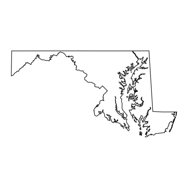
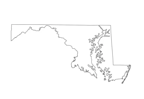
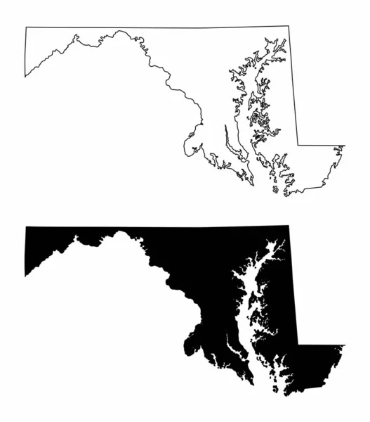
Stock vector The black and white Maryland State silhouette maps
Published:
Jul.01, 2023 13:45:55
Author:
luisrftc
Views:
0
Downloads:
0
File type:
vector
/
eps
File size:
8.28 MB
Orginal size:
4400
x
5000
px
Available sizes:
S
(440 x 500)
M
(880 x 1000)
L
(1760 x 2000)
XL
(4400 x 5000)
VECT
(4400 x 5000)
EL0
(4400 x 5000)
Level:
bronze
Download Vector
Vector topics:
White
Vector
Background
Graphic
Illustration
Design
Set
Isolated
Shape
Art
Travel
Abstract
Texture
Transport
Black
Cut
Line
Silhouette
Border
Symbol
Concept
Icon
Contour
Shadow
American
Us
Usa
Tourism
North
Outline
Country
Map
Cartography
Geography
National
State
Chart
Location
America
United
States
Region
Federal
Maryland
Nation
County
Baltimore
Annapolis
Topographical
Similar stock vectors
Black Map Of State Maryland On White Background. High Detailed Vector Map Of The U.S. State Of Maryland. Flat Style.
5000 × 5000
Maryland MD State Map USA With Capital City Star At Annapolis. Black Silhouette And Outline Isolated On A White Background. EPS Vector
8334 × 8334
Maryland MD State Maps. Black Silhouette And Outline Isolated On A White Background. EPS Vector
8334 × 8334
Maryland MD State Border USA Map Outline
8334 × 8334
Maryland Silhouette Map
5000 × 3000
Chatham County, Georgia (U.S. County, United States Of America,USA, U.S., US) Map Vector Illustration, Scribble Sketch Chatham Map
7087 × 4726
Monroe County, Michigan (U.S. County, United States Of America, USA, U.S., US) Map Vector Illustration, Scribble Sketch Monroe Map
7087 × 4726
Blank Maryland State Vector Map Silhouette Illustration Isolated On White Background. High Detailed Illustration. United State Of America Empty Country. Maryland Map With County Borders.
5883 × 4031