Home
Images
Vectors
Videos
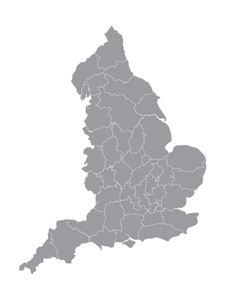
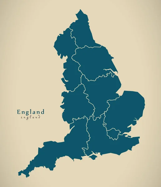
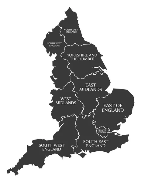
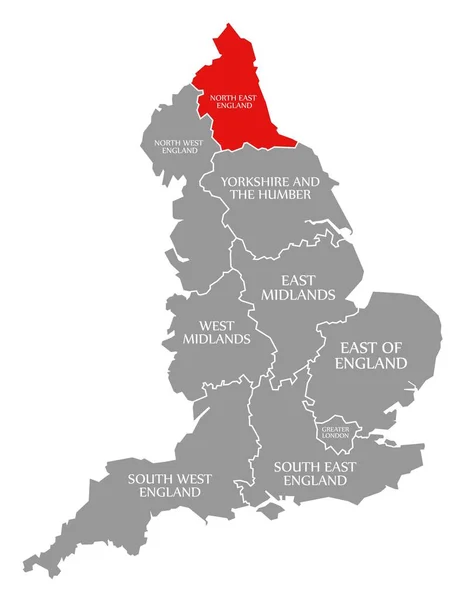
Stock vector The England isolated map divided in counties with labels
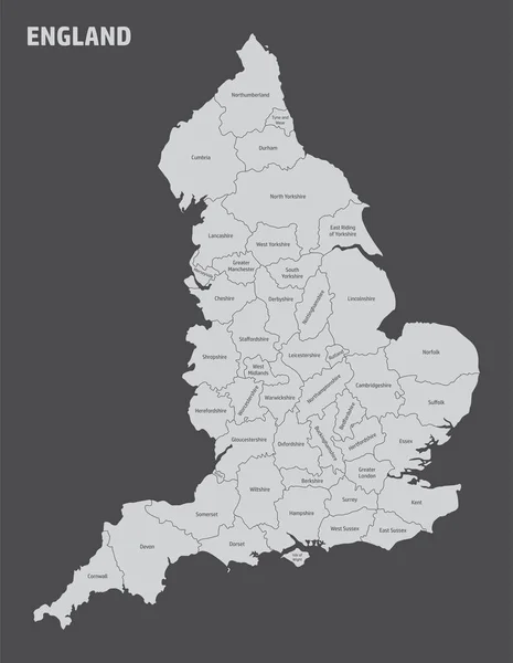
Published:
Aug.06, 2021 15:41:50
Author:
luisrftc
Views:
3
Downloads:
0
File type:
vector
/
eps
File size:
9.04 MB
Orginal size:
3882
x
5000
px
Available sizes:
S
(388 x 500)
M
(776 x 1000)
L
(1553 x 2000)
XL
(3882 x 5000)
VECT
(3882 x 5000)
EL0
(3882 x 5000)
Level:
bronze
Download Vector
Vector topics:
Image
Vector
Illustration
Isolated
Shape
Travel
Dark
Style
Border
Hand
Modern
Graphics
Symbol
City
Flat
Simple
Detailed
Northern
Europe
Outline
Country
Map
Cartography
Geography
Area
National
Uk
Making
Drawn
Great
Federation
Administrative
Union
United
Kingdom
Britain
London
Region
England
Province
Wales
Labels
Scotland
Subdivision
County
Mapping
Geographical
Boroughs
County Icon
Similar stock vectors
The England Isolated Map Divided In Counties With Labels
3882 × 5000
Gray Ceremonial Counties Map Of European Country Of England
3600 × 4800
Modern Map - England With Counties UK
4700 × 5453
Blank Map Of England. High Quality Map With Regions Of England On Transparent Background For Your Web Site Design, App, UI. United Kingdom. EPS10.
5000 × 5000
England Map Labelled Black
5000 × 6463
Map England. Poster Map Of Regions Of England. Black And White Print Map Of England For T-shirt, Poster, Print. Hand-drawn Graphic Map With Regions. Vector Illustration
5263 × 6000
North East England Red Highlighted In Map Of England UK
5100 × 6592
East Of England Red Highlighted In Map Of England UK
5100 × 6592