photo free
Home Images Vectors Videos

Stock vector The Norfolk county isolated map divided in districts with labels, England

Stock vector The Norfolk county isolated map divided in districts with labels, England
Published: Apr.12, 2021 17:09:31
Author: luisrftc
Views: 2
Downloads: 0
File type: vector / eps
File size: 8.35 MB
Orginal size: 5000 x 3400 px
Available sizes:
S
(500 x 340)
M
(1000 x 680)
L
(2000 x 1360)
XL
(5000 x 3400)
VECT
(5000 x 3400)
EL0
(5000 x 3400)
Level: bronze
Download Vector
Vector topics:

Similar stock vectors

stock vector The Norfolk county isolated map divided in districts with labels, England

The Norfolk County Isolated Map Divided In Districts With Labels, England

5000 × 3400
stock vector The Norfolk county, administrative map isolated on dark background, England

The Norfolk County, Administrative Map Isolated On Dark Background, England

5000 × 3700
stock vector Northamptonshire County administrative map divided in grayscale and isolated on white background, England

Northamptonshire County Administrative Map Divided In Grayscale And Isolated On White Background, England

4394 × 5000
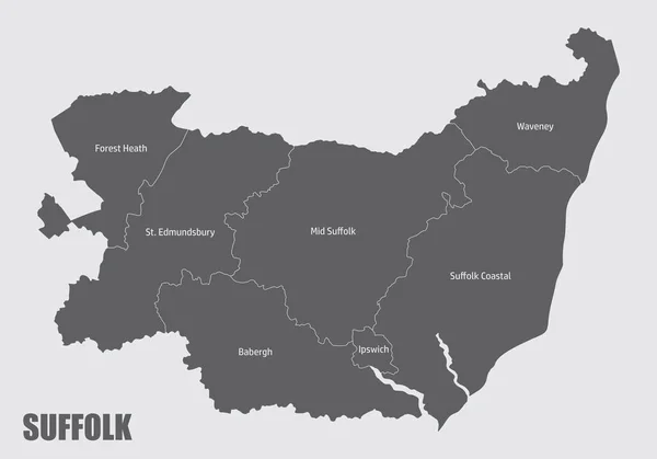
stock vector The Suffolk county isolated map divided in districts with labels, England

The Suffolk County Isolated Map Divided In Districts With Labels, England

5000 × 3500
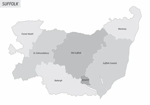
stock vector The Suffolk county isolated map divided in districts with labels, England

The Suffolk County Isolated Map Divided In Districts With Labels, England

5000 × 3500
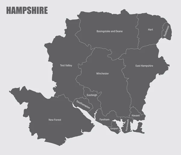
stock vector The Hampshire county isolated map divided in districts with labels, England

The Hampshire County Isolated Map Divided In Districts With Labels, England

5000 × 4288
stock vector Kent county map divided in districts with labels, England

Kent County Map Divided In Districts With Labels, England

5000 × 3434
stock vector Administrative Map of Northamptonshire with County, Unitary Authorities and Civil Parishes as of 2022 - United Kingdom, England - Vector Map

Administrative Map Of Northamptonshire With County, Unitary Authorities And Civil Parishes As Of 2022 - United Kingdom, England - Vector Map

3000 × 3000