photo free
Home Images Vectors Videos

Stock vector Kent county map divided in districts with labels, England

Stock vector Kent county map divided in districts with labels, England
Published: Jul.28, 2021 14:27:46
Author: luisrftc
Views: 0
Downloads: 0
File type: vector / eps
File size: 8.35 MB
Orginal size: 5000 x 3434 px
Available sizes:
S
(500 x 343)
M
(1000 x 687)
L
(2000 x 1374)
XL
(5000 x 3434)
VECT
(5000 x 3434)
EL0
(5000 x 3434)
Level: bronze
Download Vector
Vector topics:

Similar stock vectors

stock vector Kent county map divided in districts with labels, England

Kent County Map Divided In Districts With Labels, England

5000 × 3434
stock vector High Quality map is a county of England

High Quality Map Is A County Of England

4000 × 4000
stock vector administrative vector map of the english county kent with flag

Administrative Vector Map Of The English County Kent With Flag

4552 × 3100
stock vector Administrative Map of West Sussex with Counties, Districts and Civil Parishes as of 2022 - United Kingdom, England - Vector Map

Administrative Map Of West Sussex With Counties, Districts And Civil Parishes As Of 2022 - United Kingdom, England - Vector Map

3000 × 3000
stock vector Administrative Map of Kent with Counties, Districts and Civil Parishes as of 2022 - United Kingdom, England - Vector Map

Administrative Map Of Kent With Counties, Districts And Civil Parishes As Of 2022 - United Kingdom, England - Vector Map

3000 × 3000
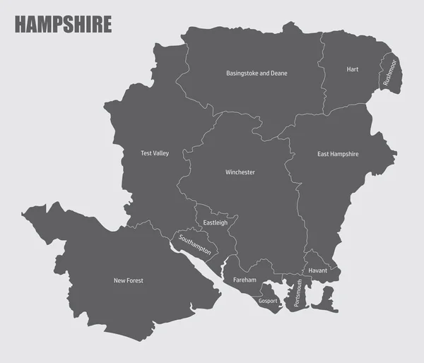
stock vector The Hampshire county isolated map divided in districts with labels, England

The Hampshire County Isolated Map Divided In Districts With Labels, England

5000 × 4288
stock vector The Norfolk county isolated map divided in districts with labels, England

The Norfolk County Isolated Map Divided In Districts With Labels, England

5000 × 3400
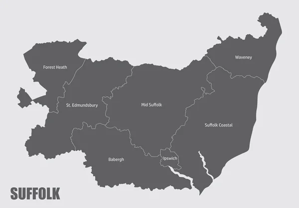
stock vector The Suffolk county isolated map divided in districts with labels, England

The Suffolk County Isolated Map Divided In Districts With Labels, England

5000 × 3500