Home
Images
Vectors
Videos
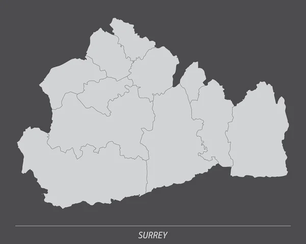
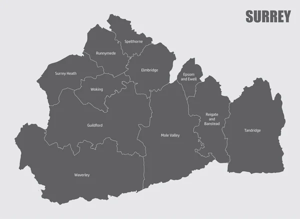
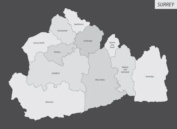
Stock vector The Surrey county, isolated map divided in districts with labels, England
Published:
Apr.26, 2021 08:46:48
Author:
luisrftc
Views:
1
Downloads:
0
File type:
vector
/
eps
File size:
8.39 MB
Orginal size:
5000
x
3650
px
Available sizes:
S
(500 x 365)
M
(1000 x 730)
L
(2000 x 1460)
XL
(5000 x 3650)
VECT
(5000 x 3650)
EL0
(5000 x 3650)
Level:
bronze
Download Vector
Vector topics:
Vector
Graphic
Illustration
Design
Shape
Travel
Silhouette
Border
Modern
City
Tower
Flat
Simple
Tourism
Town
Europe
Outline
Country
District
Map
Plan
Area
Uk
Trip
Overview
State
Guide
Administrative
Union
United
Region
Division
Territory
England
County
Regional
Provinces
Waverley
Surrey
Woking
Guildford
Runnymede
Tandridge
Surrey Heath
Mole Valley
Spelthorne
Reigate And Banstead
Epsom And Ewell
Similar stock vectors
The Surrey County, Administrative Map Isolated On Dark Background, England
5000 × 4000
The Surrey County Isolated Map Divided In Districts With Labels, England
5000 × 3651
The Surrey County Administrative Map Divided In Grayscale And Isolated On White Background, England
5000 × 3674
High Quality Map Is A County Of England
4000 × 4000
Oxfordshire County Administrative Map Isolated On Dark Background, England
4000 × 5000
Kent County Map Divided In Districts With Labels, England
5000 × 3434
The Oxfordshire County Administrative Map Isolated On White Background, England
4000 × 5000
State Of Victoria Map On Transparent Background. Map State Of Victoria With Districts For Your Web Site Design, Logo, App, UI. Australia. EPS10.
6668 × 4996