Home
Images
Vectors
Videos
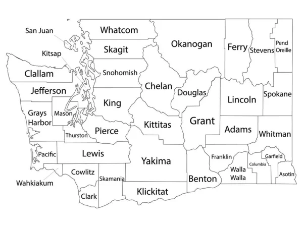
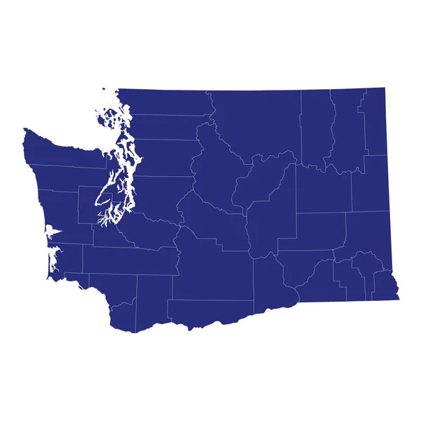
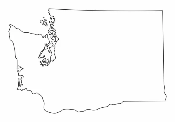
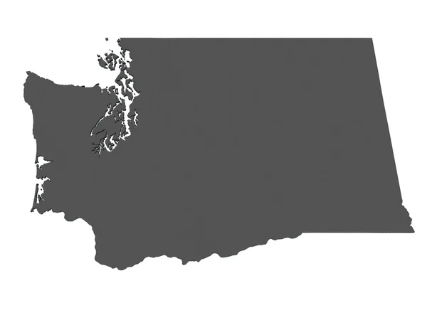
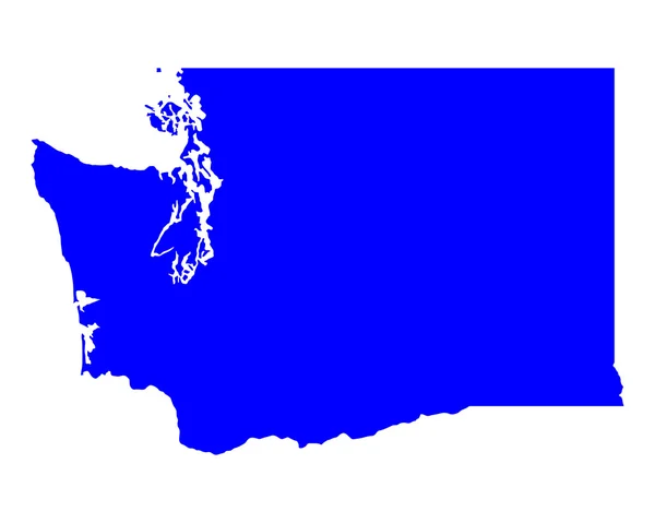
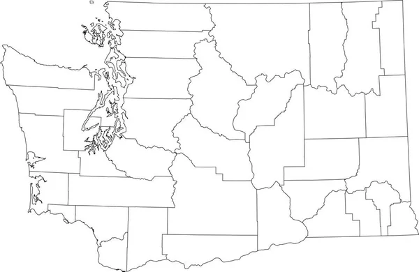
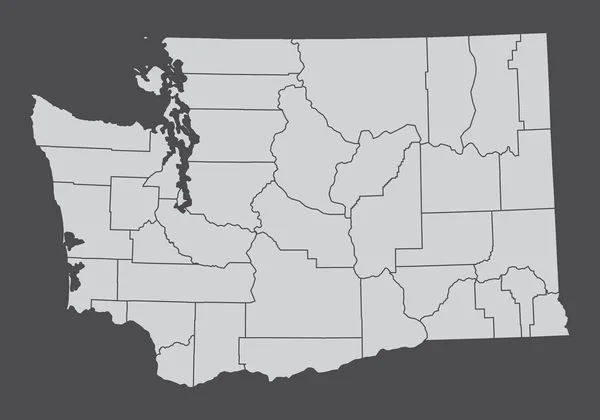
Stock vector The Washington State, USA. Administrative map isolated on dark background.
Published:
Nov.27, 2022 01:54:38
Author:
luisrftc
Views:
1
Downloads:
0
File type:
vector
/
eps
File size:
8.18 MB
Orginal size:
5000
x
3500
px
Available sizes:
S
(500 x 350)
M
(1000 x 700)
L
(2000 x 1400)
XL
(5000 x 3500)
VECT
(5000 x 3500)
EL0
(5000 x 3500)
Level:
bronze
Download Vector
Vector topics:
Background
Graphic
Illustration
Design
Isolated
Shape
Business
Art
Detail
Abstract
Black
Cut
Line
Silhouette
Border
Flag
Gray
Concept
Icon
Global
Flat
Contour
Grey
Education
Earth
American
Usa
North
Globe
Country
Map
Cartography
Geography
Area
National
Land
Chart
Location
America
Boundary
Administrative
Washington
Region
Federal
Atlas
Nation
County
Divisions
Areas
Similar stock vectors
White Outline Counties Map With Counties Names Of US State Of Washington
4800 × 3600
High Quality Map Of Washington Is A State Of United States Of America With Borders Of The Counties
4000 × 4000
Washington State Isolated Map. Black Outlines On White Background.
5000 × 3490
Map Of Washington - USA
8000 × 6000
Washington WA State Border USA Map Outline
8334 × 8334
Map Of Washington
5000 × 4000
White Blank Vector Administrative Map Of The Federal State Of Washington, USA With Black Borders Of Its Counties
6005 × 3909