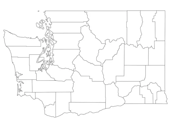
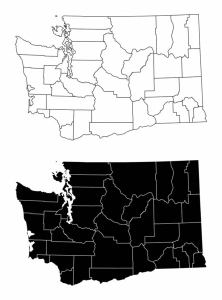
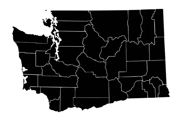
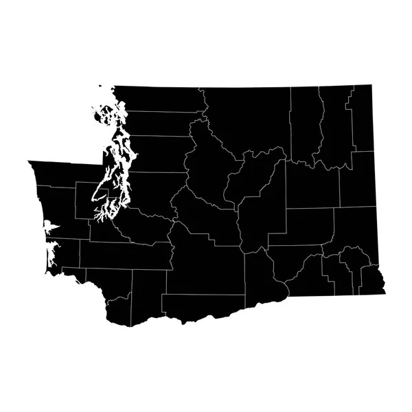
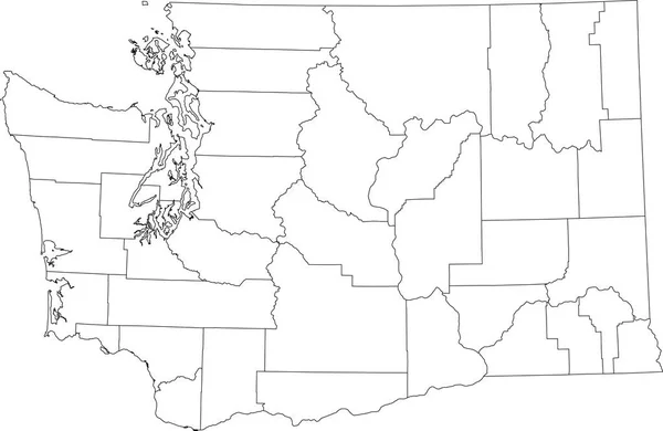
Stock vector White blank vector administrative map of the Federal State of Washington, USA with black borders of its counties
Published: Jan.06, 2022 16:30:51
Author: momcilo.jovanov
Views: 0
Downloads: 0
File type: vector / eps
File size: 1.17 MB
Orginal size: 6005 x 3909 px
Available sizes:
Level: bronze