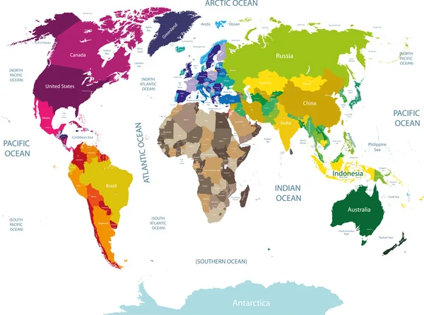
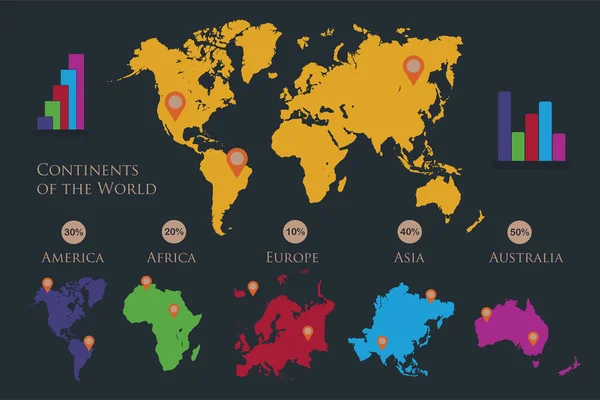
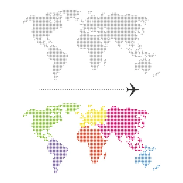
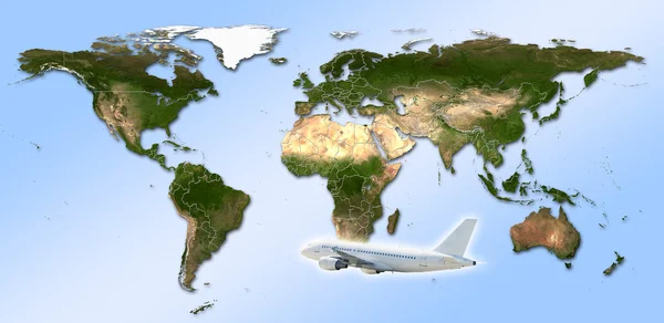
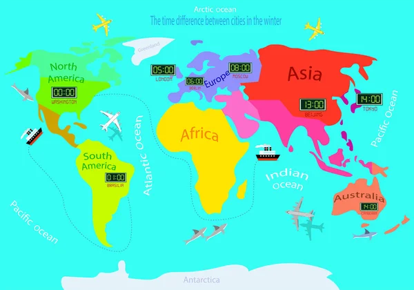
Stock vector Time zones on a world map. Time difference between countries in winter. Illustrated map of the earth.
Published: Sep.16, 2019 14:54:04
Author: fortuna82
Views: 34
Downloads: 2
File type: vector / eps
File size: 5.65 MB
Orginal size: 5000 x 3501 px
Available sizes:
Level: bronze