Home
Images
Vectors
Videos
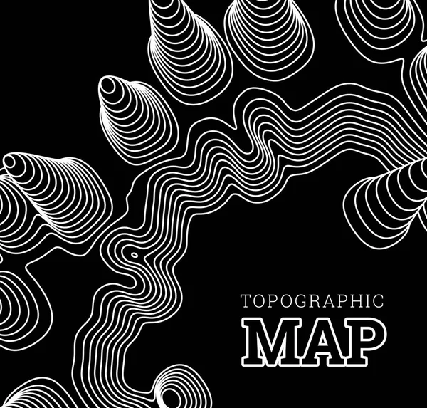
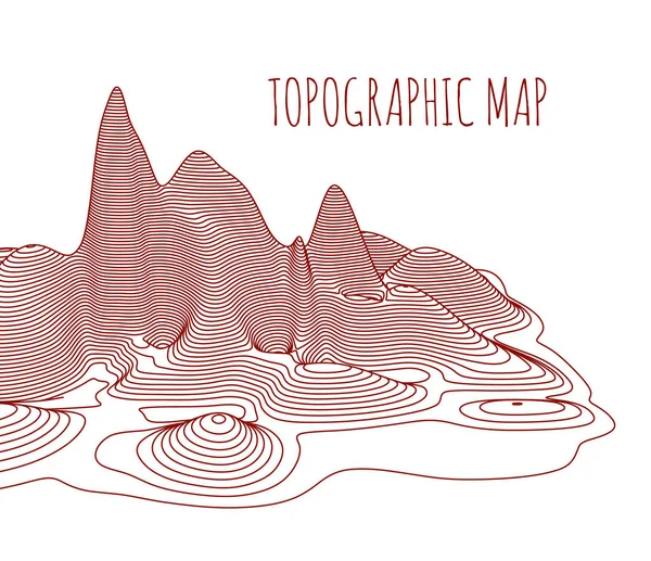
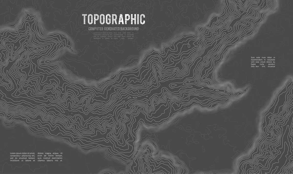
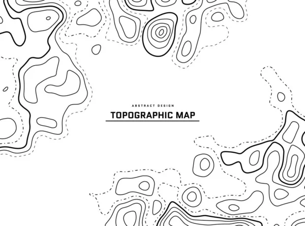
Stock vector Topographical map of the locality, vector illustration
Published:
Nov.13, 2017 07:53:07
Author:
mpavlov
Views:
27
Downloads:
1
File type:
vector
/
eps
File size:
0.76 MB
Orginal size:
4499
x
4000
px
Available sizes:
S
(500 x 445)
M
(1000 x 889)
L
(2000 x 1778)
XL
(4499 x 4000)
VECT
(4499 x 4000)
EL0
(4499 x 4000)
Level:
silver
Download Vector
Vector topics:
Vector
Background
Graphic
Illustration
Design
Space
Art
Nature
Abstract
Texture
Pattern
Mountain
Line
Frame
Landscape
Backdrop
Concept
Wavy
Physical
Contour
Earth
Geometric
Relief
Outline
Discovery
Hill
Hiking
Direction
Map
Cartography
Geography
Area
Land
Chart
Topography
Terrain
Geographic
Diagram
Topographic
Topology
Topographical
Topo
Infographics
Infographic
Similar stock vectors
Topographical Map Of The Locality, Vector Illustration
4190 × 4000
Topographic Map Contour. Geographic Mapping, Nature Terrain Relief, Mountain Topology. Cartography Line Landscape Vector Abstract Background
6268 × 3989
Contour Topographic Map Vector. Geography Wavy Backdrop. Cartography Graphic Concept.
5000 × 5000
Topographical Map Of The Locality, Vector Illustration
4636 × 4000
Grey Contours Vector Topography. Geographic Mountain Topography Vector Illustration. Topographic Pattern Texture. Map On Land Vector Terrain. Elevation Graphic Contour Height Lines. Topographic Map
6756 × 3800
Grey Contours Vector Topography. Geographic Mountain Topography Vector Illustration. Topographic Pattern Texture. Map On Land Vector Terrain. Elevation Graphic Contour Height Lines. Topographic Map
6751 × 4007
Topographic Map Abstract Background. Outline Cartography Landscape. Topographic Relief Map On White Backdrop. Modern Cover Design With Wavy Lines. Vector Illustration With Weather Map Outline Pattern.
5807 × 4305
Grey Contours Vector Topography. Geographic Mountain Topography Vector Illustration. Topographic Pattern Texture. Map On Land Vector Terrain. Elevation Graphic Contour Height Lines.
6720 × 4000