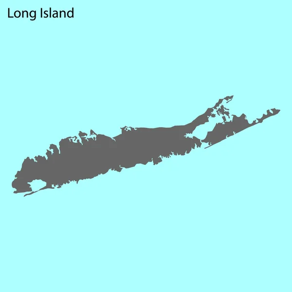
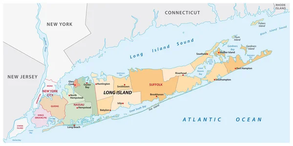
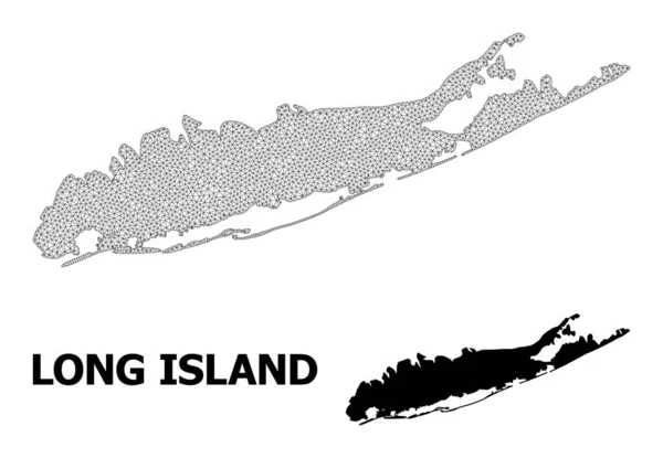
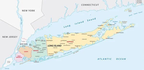
Stock vector Two-toned map of Long island, New York with the largest highways, roads and surrounding islands and islets
Published: Jun.03, 2018 19:56:50
Author: mail.hebstreit.com
Views: 166
Downloads: 18
File type: vector / eps
File size: 14.37 MB
Orginal size: 6223 x 3501 px
Available sizes:
Level: bronze