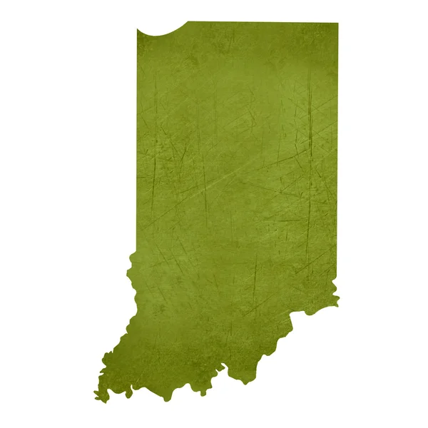
Stock vector U.S. states - map of Indiana with paper cut effect. Hand made. Rivers and lakes are shown. Please look at my other images of cartographic series - they are all very detailed and carefully drawn by hand WITH RIVERS AND LAKES.

Published: Jun.25, 2018 04:47:20
Author: mshch1
Views: 14
Downloads: 1
File type: vector / eps
File size: 2.19 MB
Orginal size: 6891 x 6891 px
Available sizes:
Level: silver