Home
Images
Vectors
Videos
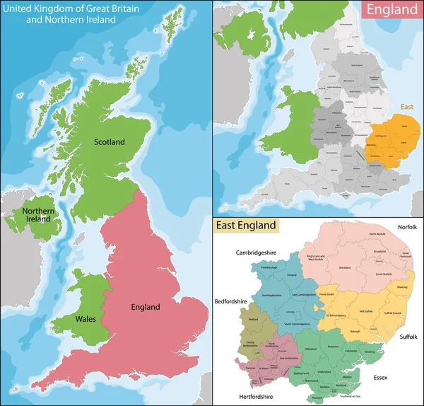
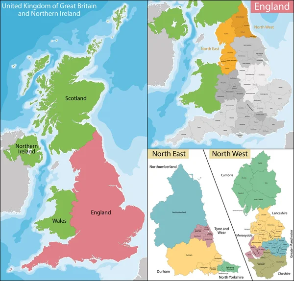
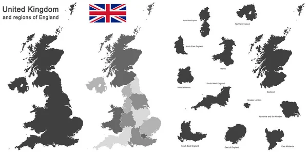
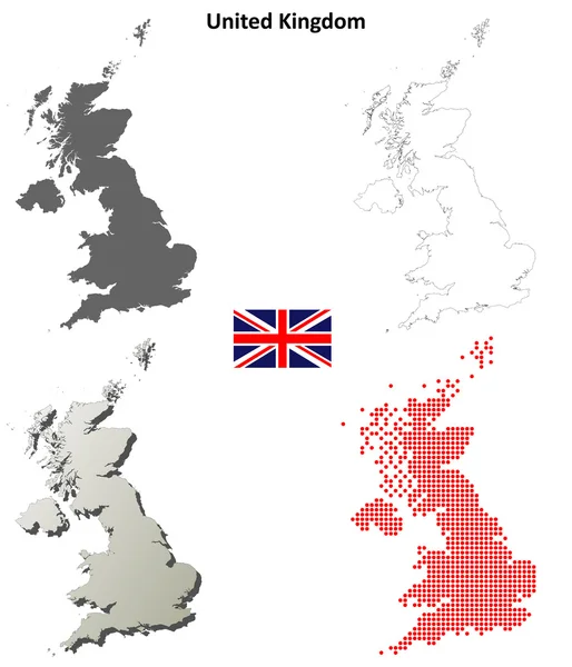
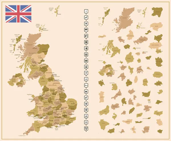
Stock vector United Kingdom - detailed map of the country in brown colors, divided into regions. Vector illustration
Published:
Nov.18, 2023 10:00:52
Author:
gt29
Views:
1
Downloads:
1
File type:
vector
/
eps
File size:
2.63 MB
Orginal size:
6363
x
5251
px
Available sizes:
S
(500 x 413)
M
(1000 x 825)
L
(2000 x 1650)
XL
(6363 x 5251)
VECT
(6363 x 5251)
EL0
(6363 x 5251)
Level:
bronze
Download Vector
Vector topics:
Vector
Background
Set
Business
Travel
Brown
Border
Retro
Flag
Road
Earth
World
Tourism
Detailed
Europe
Collection
Highly
Layout
Country
Map
Cartography
Icons
Geography
Continent
Tourist
Separation
State
Political
Printed
Britain
London
Marker
English
British
England
Wales
Scotland
Provinces
Territories
Municipalities
Infographics
Infographic
United Kingdom
United Kingdom Flag
Administrative Divisions
United Kingdom Map
Tourist Signs
Individual Regions
Geographical Signs
Similar stock vectors
Map Of East England
7006 × 6706
Map Of South East England
7006 × 6706
High-detailed Administrative Units Map Of United Kingdom. All Elements Entitled And Easy-to-use
7292 × 6127
United Kingdom Map
7021 × 7200
Map Of North East And West England
7021 × 6721
European Country United Kingdom And Regions Of England
11811 × 5906
United Kingdom Outline Map Set
5000 × 5833
Detailed Map Of United Kingdom With Flag, Border Of Regions And Country. Purple, Yellow, Green.
5329 × 6793