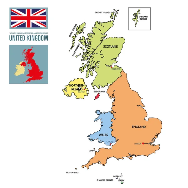
Stock vector United Kingdom map, flag, roads - illustration.

Published: Jul.27, 2015 14:02:42
Author: dikobrazik
Views: 825
Downloads: 8
File type: vector / eps
File size: 4.36 MB
Orginal size: 5400 x 6470 px
Available sizes:
Level: silver