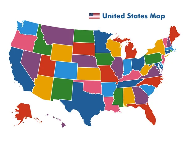
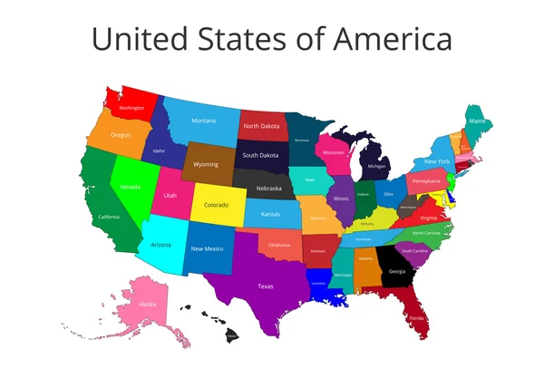
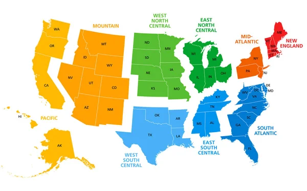
Stock vector United States census bureau regions and divisions vector map. Flag of United States of America

Published: Jan.02, 2018 12:04:49
Author: Jktu_21
Views: 224
Downloads: 18
File type: vector / eps
File size: 6.79 MB
Orginal size: 7292 x 3543 px
Available sizes:
Level: silver