Home
Images
Vectors
Videos
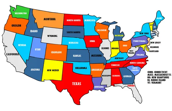
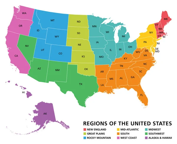
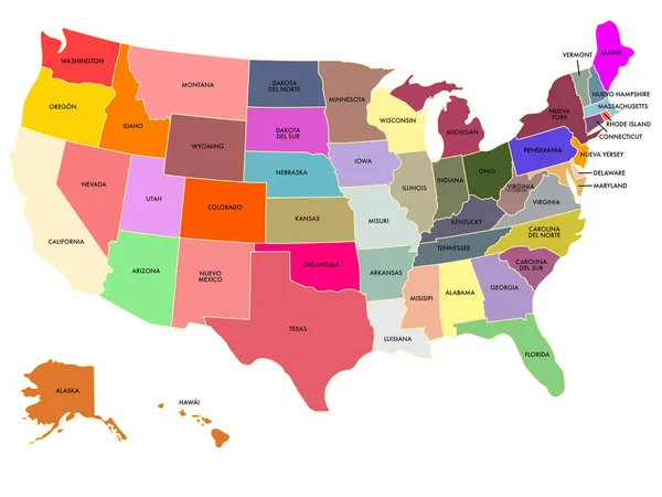
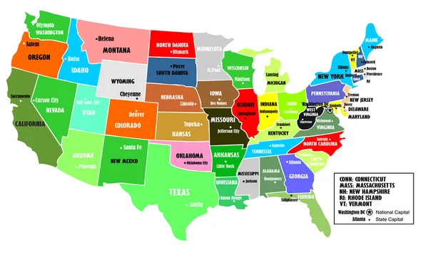
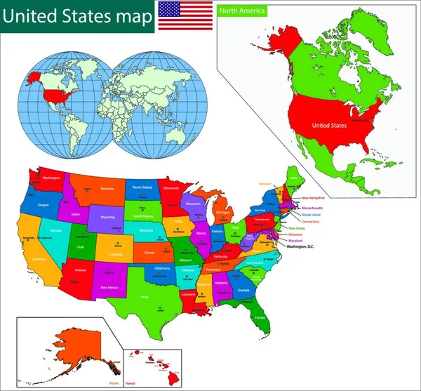
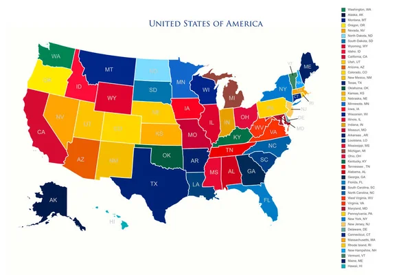
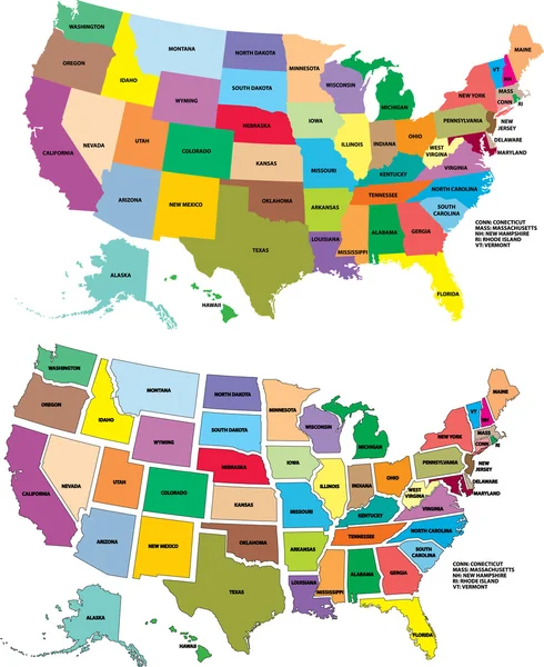
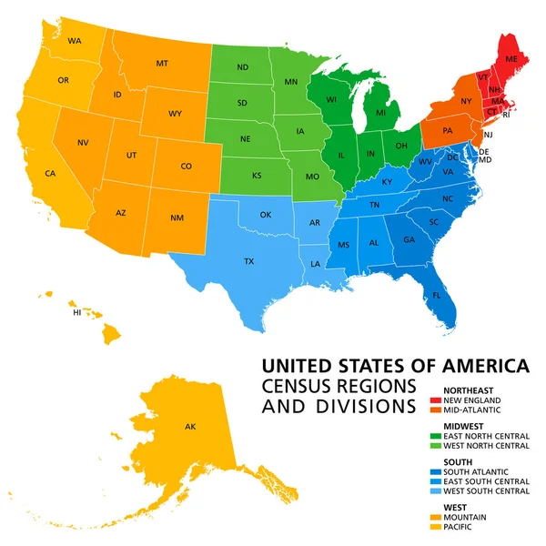
Stock vector United States, Census regions and divisions, political map. Region definition widely used for data collection and analysis. The most commonly used classification system. English. Illustration. Vector.
Published:
Apr.14, 2020 08:35:19
Author:
Furian
Views:
439
Downloads:
29
File type:
vector
/
eps
File size:
3.89 MB
Orginal size:
6000
x
6000
px
Available sizes:
S
(500 x 500)
M
(1000 x 1000)
L
(2000 x 2000)
XL
(6000 x 6000)
VECT
(6000 x 6000)
EL0
(6000 x 6000)
Level:
silver
Download Vector
Vector topics:
Colors
Vector
Illustration
New
Mountain
Us
Usa
Detailed
North
East
South
System
Country
West
Map
Cartography
Geography
Pacific
State
America
Political
Administrative
Atlantic
Statistics
United
States
Region
Division
Central
English
England
Classification
Atlas
Divisions
Midwest
Mapping
Northeast
Alaska
Regions
Mid Atlantic
Census
United States
New England
Political Map
South Atlantic
Classification System
West South Central
West North Central
East North Central
East South Central
Similar stock vectors
USA Map
4080 × 2633
Regions Of The United States Of America, Political Map. The Nine Regions New England, Great Plains, Rocky Mountain, Mid Atlantic, South, West Coast, Midwest, Southwest, Alaska And Hawaii. Illustration
7322 × 6000
Color Map Of The United States With Names
2732 × 2048
USA Map
4364 × 2657
Colorful USA Map, Graphic Vector Illustration
5000 × 4643
United States Of America Colorful Map With States And Borders Illustration
6000 × 4000
Vector USA Map
2000 × 2448
United States Of America Isolated Map And Florida State Territory. Vector USA Political Map. Geographic Banner Design
6000 × 4000