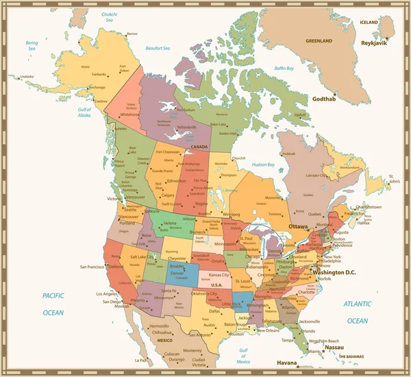
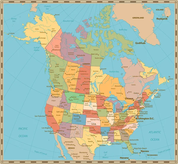
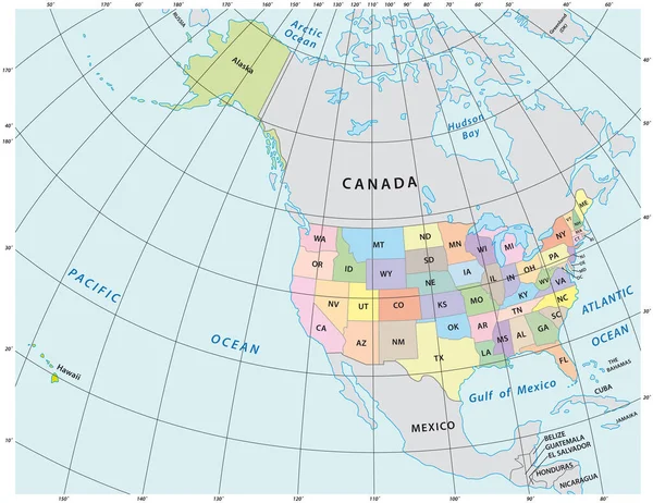
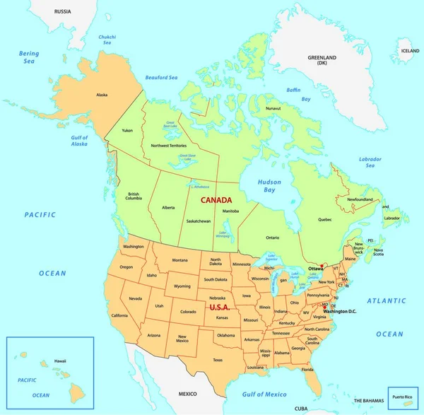
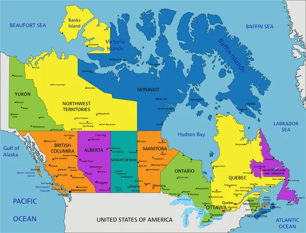
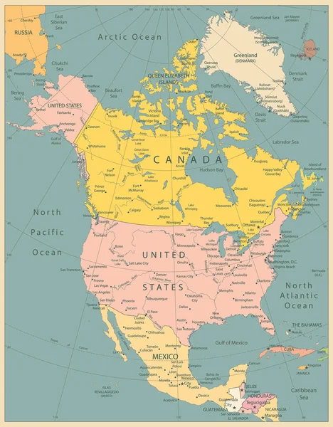
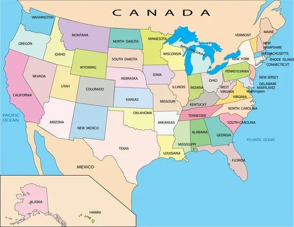
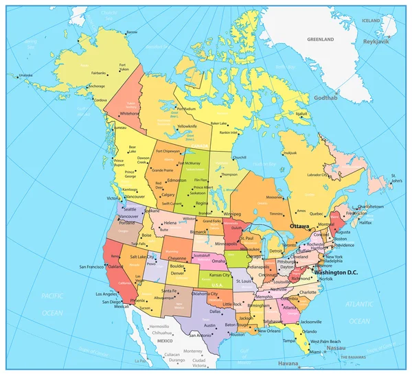
Stock vector USA and Canada large detailed political map
Published: Sep.16, 2016 12:16:46
Author: Cartarium
Views: 3705
Downloads: 3
File type: vector / eps
File size: 6.41 MB
Orginal size: 8192 x 7492 px
Available sizes:
Level: bronze