Home
Images
Vectors
Videos
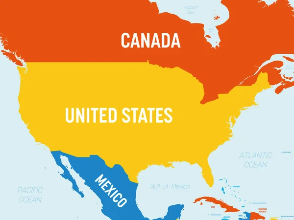
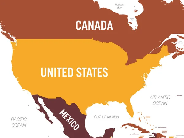
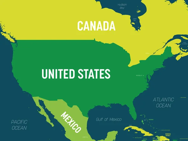
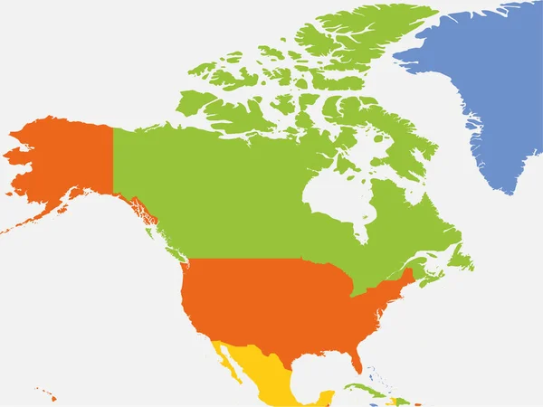
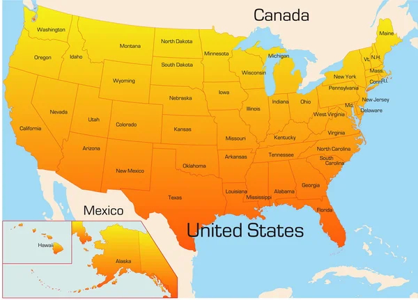
Stock vector USA detailed political map with lables
Published:
Feb.01, 2022 08:51:55
Author:
pyty
Views:
9
Downloads:
0
File type:
vector
/
eps
File size:
1.36 MB
Orginal size:
8000
x
6000
px
Available sizes:
S
(500 x 375)
M
(1000 x 750)
L
(2000 x 1500)
XL
(8000 x 6000)
VECT
(8000 x 6000)
EL0
(8000 x 6000)
Level:
silver
Download Vector
Vector topics:
Green
Yellow
Vector
Colorful
Design
Isolated
Business
Labeling
Label
Travel
Detail
Water
Orange
Sea
Border
Information
Education
World
American
Us
Usa
Gradient
Template
Ocean
Detailed
Shade
Name
Country
Map
Cartography
Geography
Continent
State
America
Countries
International
Political
Hue
Atlas
Oceans
Americas
Geographical
Labeled
Infographic
North America
United States
Capital City
Wahington
Political Map
Usa Map
Similar stock vectors
USA Map - 4 Bright Color Scheme. High Detailed Political Map United States Of America And Neighboring Countries With Country, Ocean And Sea Names Labeling
6000 × 4500
USA Map - Brown Orange Hue Colored On Dark Background. High Detailed Political Map United States Of America And Neighboring Countries With Country, Ocean And Sea Names Labeling
6000 × 4500
USA Map. High Detailed Political Map United States Of America And Neighboring Countries With Country, Ocean And Sea Names Labeling
6000 × 4500
USA Map - Green Hue Colored On Dark Background. High Detailed Political Map United States Of America And Neighboring Countries With Country, Capital, Ocean And Sea Names Labeling
6000 × 4500
North America Blank Map. High Detailed Political Map North American Continent
8000 × 6004
Usa Map
4295 × 3088
USA Blank Map. High Detailed Political Map United States Of America And Neighboring Countries
8000 × 6000
North America Map
6227 × 7698