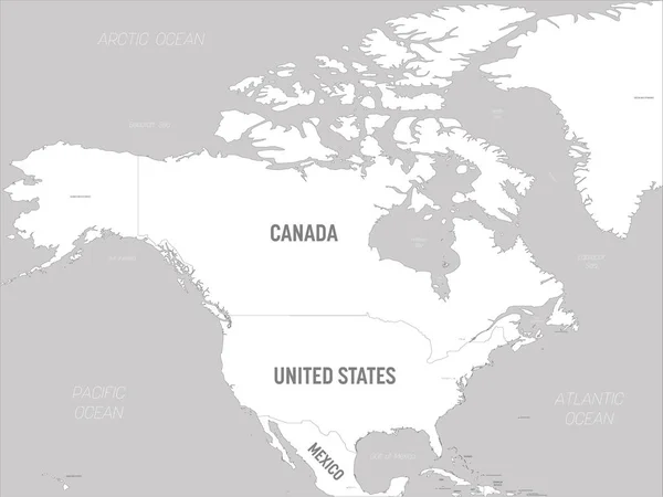
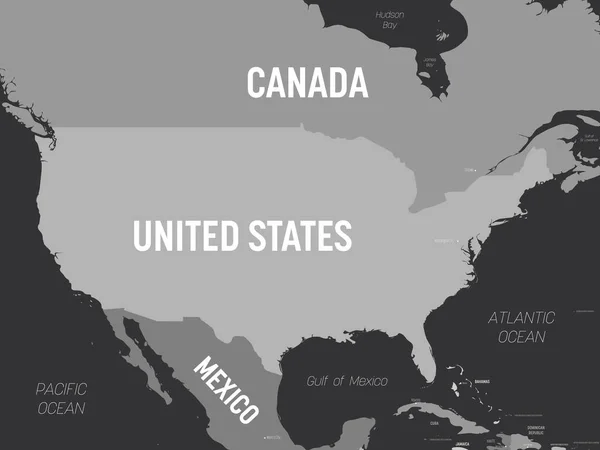
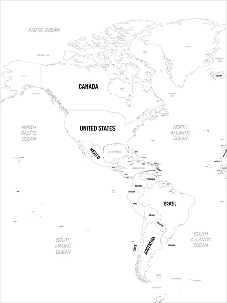
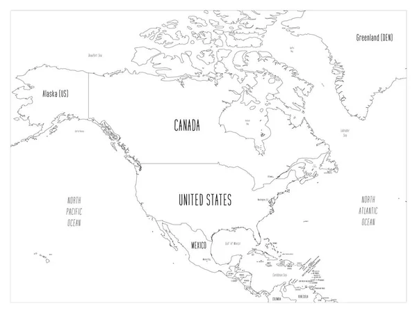
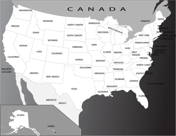
Stock vector USA map. High detailed political map United States of America and neighboring countries with country, capital, ocean and sea names labeling
Published: Apr.21, 2020 09:23:02
Author: pyty
Views: 7
Downloads: 1
File type: vector / eps
File size: 1.8 MB
Orginal size: 6000 x 4500 px
Available sizes:
Level: silver