Home
Images
Vectors
Videos
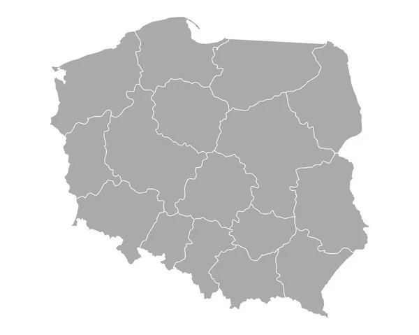
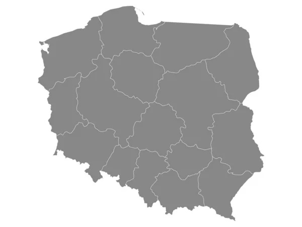
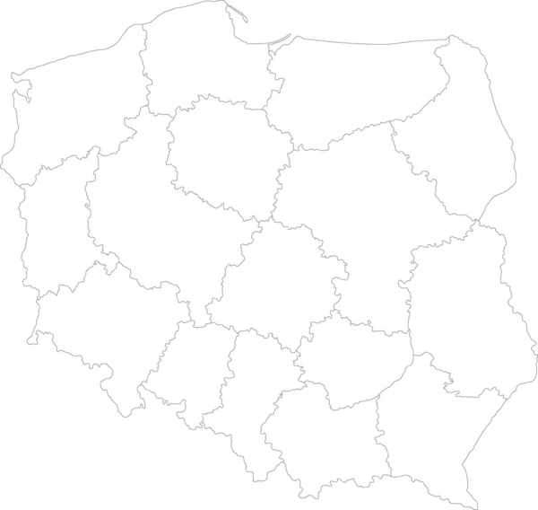
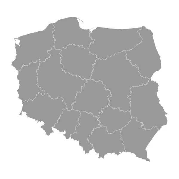
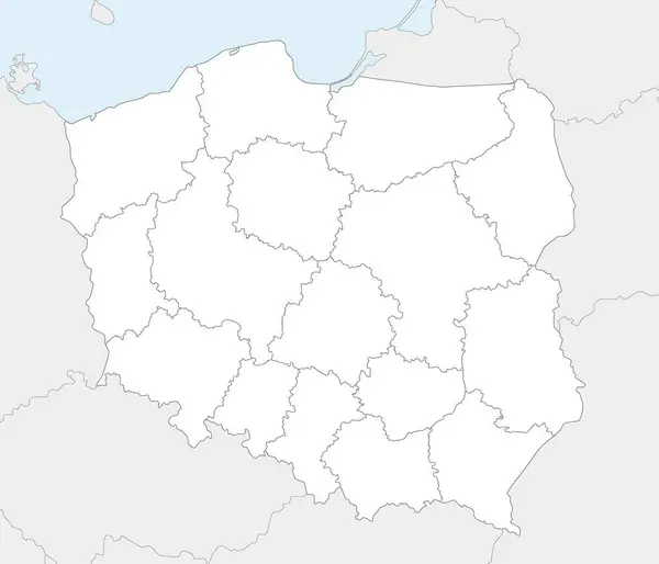
Stock vector Vector blank map of Poland with provinces and administrative divisions, and neighbouring countries and territories. Editable and clearly labeled layers.
Published:
Jul.02, 2024 13:57:57
Author:
asantosg
Views:
0
Downloads:
0
File type:
vector
/
eps
File size:
2.98 MB
Orginal size:
4200
x
3600
px
Available sizes:
S
(500 x 429)
M
(1000 x 857)
L
(2000 x 1714)
XL
(4200 x 3600)
VECT
(4200 x 3600)
EL0
(4200 x 3600)
Level:
bronze
Download Vector
Vector topics:
Color
White
Vector
Background
Colorful
Graphic
Illustration
Design
Isolated
Sea
Blank
Physical
Information
Ocean
Detailed
Europe
Country
Map
Cartography
Geography
National
Borders
Layers
Political
Administrative
States
Division
Info
English
Editable
Poland
Warsaw
Mockup
Regional
Provinces
Lublin
Regions
Territories
Labeled
Masovia
Pomerania
Silesia
Lodz
Podlaskie
Infographics
Neighbouring
Lubusz
Lesser Poland
Subcarpathia
Similar stock vectors
Vector Blank Map Of Germany With Federated States Or Regions And Administrative Divisions, And Neighbouring Countries. Editable And Clearly Labeled Layers.
4000 × 5000
Map Of Poland
5000 × 4000
Gray Voivodeships Map Of European Country Of Poland
4800 × 3600
Poland
7004 × 6643
Vector Illustration Of Administrative Division Map Of Belgium.
4500 × 4500
Poland Regions Map
5000 × 5000
Poland Gray Map With Provinces. Vector Illustration.
8334 × 8334
Map Of Belgium
5000 × 4103