photo free
Home Images Vectors Videos

Stock vector Vector color detailed map of luxembourg with the administrative divisions of the country, each district is presented separately and divided into Cantons

Stock vector Vector color detailed map of luxembourg with the administrative divisions of the country, each district is presented separately and divided into Cantons
Published: Feb.10, 2022 14:02:11
Author: martinova4
Views: 2
Downloads: 0
File type: vector / eps
File size: 1.31 MB
Orginal size: 8268 x 6039 px
Available sizes:
S
(500 x 365)
M
(1000 x 730)
L
(2000 x 1461)
XL
(8268 x 6039)
VECT
(8268 x 6039)
EL0
(8268 x 6039)
Level: beginner
Download Vector
Vector topics:

Similar stock vectors

stock vector Detailed vector blue map of luxembourg with administrative divisions into district and cantons of the country

Detailed Vector Blue Map Of Luxembourg With Administrative Divisions Into District And Cantons Of The Country

7677 × 4743
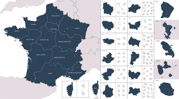
stock vector Vector color detailed map of metropolis and overseas territories of France  with administrative divisions of the country, each region is presented separately in-highly detailed and divided into departments

Vector Color Detailed Map Of Metropolis And Overseas Territories Of France With Administrative Divisions Of The Country, Each Region Is Presented Separately In-highly Detailed And Divided Into Departments

7677 × 4274
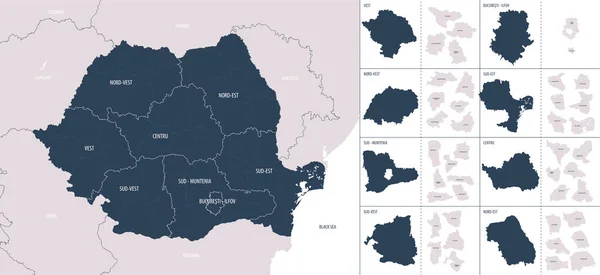
stock vector Vector color detailed map of Romania with administrative divisions of the country, each regions is presented separately in highly detailed and divided into counties

Vector Color Detailed Map Of Romania With Administrative Divisions Of The Country, Each Regions Is Presented Separately In Highly Detailed And Divided Into Counties

7677 × 3521
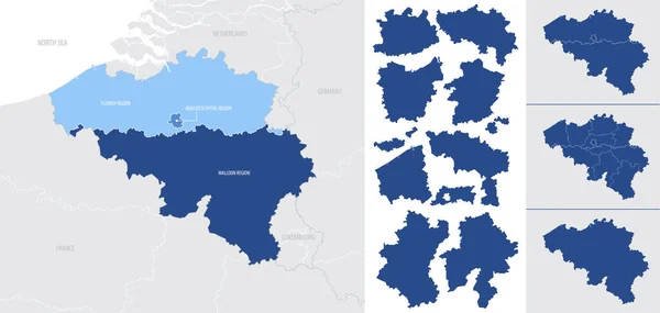
stock vector Detailed, vector, blue map of Belgium with administrative divisions into regions country

Detailed, Vector, Blue Map Of Belgium With Administrative Divisions Into Regions Country

7677 × 3655
stock vector Vector color detailed map of Belgium with administrative divisions of the country, each regions is presented separately in highly detailed and divided into provinces

Vector Color Detailed Map Of Belgium With Administrative Divisions Of The Country, Each Regions Is Presented Separately In Highly Detailed And Divided Into Provinces

7677 × 3233
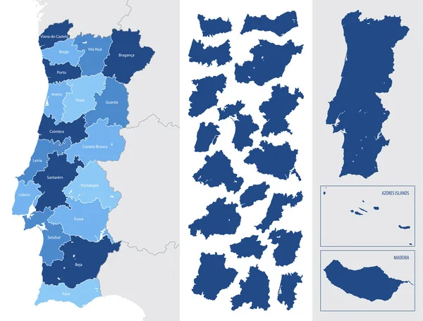
stock vector Detailed blue map of Portugal with administrative divisions, major cities on a white background, vector illustration

Detailed Blue Map Of Portugal With Administrative Divisions, Major Cities On A White Background, Vector Illustration

7087 × 5388
stock vector Luxembourg provinces maps

Luxembourg Provinces Maps

6000 × 4636
stock vector Detailed map of Hungary with administrative divisions into counties and districts, major cities of the country, vector illustration onwhite background

Detailed Map Of Hungary With Administrative Divisions Into Counties And Districts, Major Cities Of The Country, Vector Illustration Onwhite Background

7677 × 5255