photo free
Home Images Vectors Videos

Stock vector vector Earth globes with political map
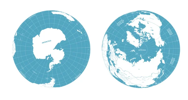
Stock vector vector Earth globes with political map
Published: Oct.19, 2016 07:00:03
Author: Jktu_21
Views: 151
Downloads: 9
File type: vector / eps
File size: 14.64 MB
Orginal size: 7292 x 3905 px
Available sizes:
S
(500 x 268)
M
(1000 x 536)
L
(2000 x 1071)
XL
(7292 x 3905)
VECT
(7292 x 3905)
EL0
(7292 x 3905)
Level: silver
Download Vector
Vector topics:

Similar stock vectors

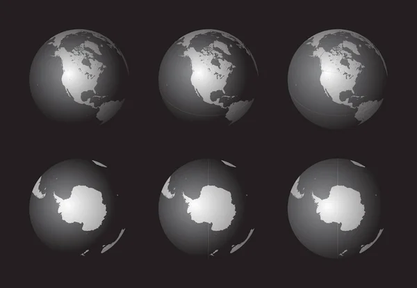
stock vector Set of Earth globes focusing on the North America (top row) and the Antarctica (bottom row). Carefully layered and grouped for easy editing. You can edit or remove separately the sphere, the lands, the borders of countries, and the background.

Set Of Earth Globes Focusing On The North America (top Row) And The Antarctica (bottom Row). Carefully Layered And Grouped For Easy Editing. You Can Edit Or Remove Separately The Sphere, The Lands, The Borders Of Countries, And The Background.

11182 × 7720
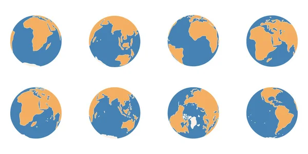
stock vector Planet Earth simplified hand drawn color icons. Globe different views on North Pole, Africa, America, Australia Europe, Asia continents, circle world map vector illustration

Planet Earth Simplified Hand Drawn Color Icons. Globe Different Views On North Pole, Africa, America, Australia Europe, Asia Continents, Circle World Map Vector Illustration

6251 × 3126
stock image Guinea-Bissau on globe isolated

Guinea-Bissau On Globe Isolated

5000 × 3750
stock vector abstract sphere. world map. global network. vector illustration

Abstract Sphere. World Map. Global Network. Vector Illustration

2401 × 2401
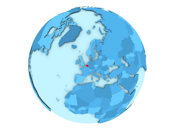
stock image Belgium on blue globe isolated

Belgium On Blue Globe Isolated

5000 × 3750
stock image Macedonia on globe isolated

Macedonia On Globe Isolated

5000 × 3750
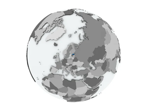
stock image Estonia on globe isolated

Estonia On Globe Isolated

5000 × 3750
stock image Iceland on globe isolated

Iceland On Globe Isolated

5000 × 3750