photo free
Home Images Vectors Videos

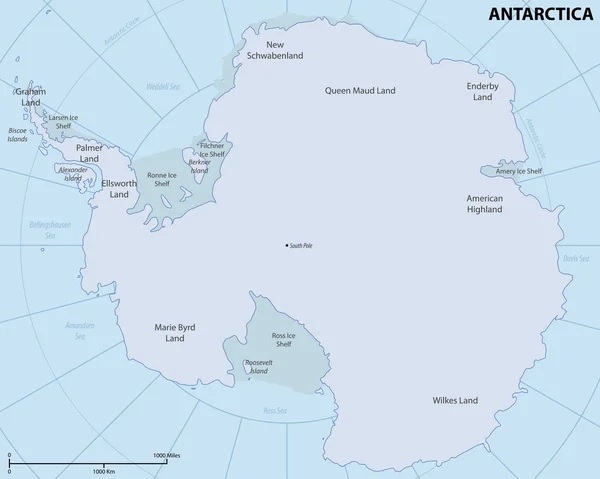
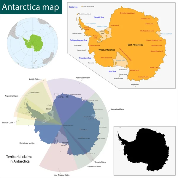
Stock image Antarctica Map

stock vector Map of Antarctica

Map Of Antarctica

Vector, 5.88MB, 6010 × 4800 eps
stock vector Map of Antarctica

Map Of Antarctica

Vector, 0.1MB, 3252 × 2500 ai
stock vector Map of the world

Map Of The World

Vector, 2.98MB, 5906 × 3937 eps
stock vector World Map Physical Topographic - Vector Detailed Illustration

World Map Physical Topographic - Vector Detailed Illustration

Vector, 39.43MB, 6001 × 3669 eps
stock image Antarctica continent viewed from a satellite. Physical map of South Pole. 3D illustration of planet Earth isolated on white, with high bump effect - Elements of this image furnished by NASA.

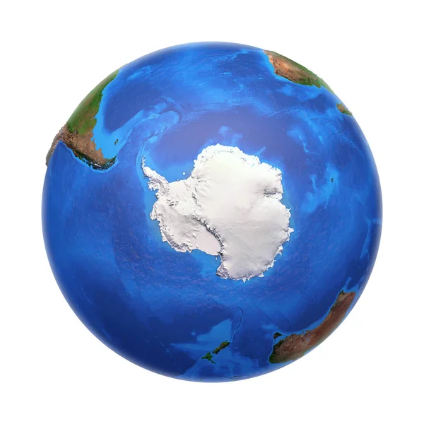
Antarctica Continent Viewed From A Satellite. Physical Map Of South Pole. 3D Illustration Of Planet Earth Isolated On White, With High Bump Effect - Elements Of This Image Furnished By NASA.

Image, 7.33MB, 7000 × 7000 jpg
stock vector Silhouette map af Antarctica. High detailed white vector illustration isolated on blue background

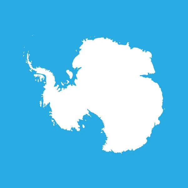
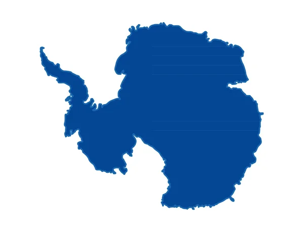
Silhouette Map Af Antarctica. High Detailed White Vector Illustration Isolated On Blue Background

Vector, 0.62MB, 6000 × 6000 eps
stock vector Antarctica political map gray colored

Antarctica Political Map Gray Colored

Vector, 2.04MB, 8033 × 8033 eps
stock vector vector Earth globes with political map

Vector Earth Globes With Political Map

Vector, 14.64MB, 7292 × 3905 eps
stock vector Antarctica Political Map

Antarctica Political Map

Vector, 1.72MB, 6000 × 6000 eps
stock vector Antarctic, Antarctica,  flora and fauna map, flat elements. Anim

Antarctic, Antarctica, Flora And Fauna Map, Flat Elements. Anim

Vector, 1.34MB, 5858 × 4500 eps
stock vector The Poles - North Pole and South Pole - Vector Illustration. Blue and White

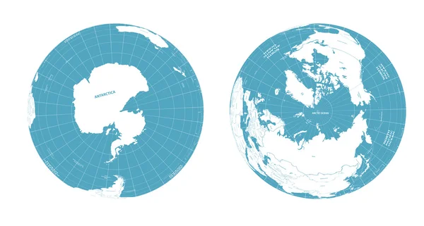
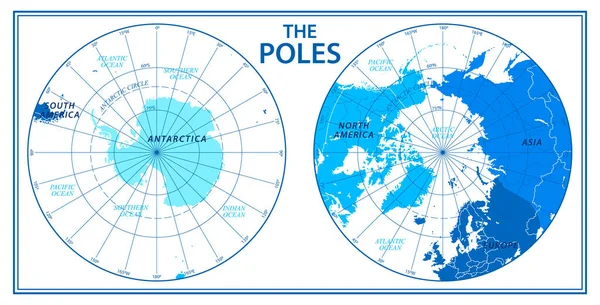
The Poles - North Pole And South Pole - Vector Illustration. Blue And White

Vector, 1.57MB, 6272 × 3200 eps
stock vector Seven continents vector

Seven Continents Vector

Vector, 2.59MB, 3429 × 3429 eps
stock vector Antarctica Map

Antarctica Map

Vector, 1.43MB, 2807 × 3033 eps
stock vector Continents, Oceans on Map of World. Our Planet.

Continents, Oceans On Map Of World. Our Planet.

Vector, 3.3MB, 5000 × 3329 eps
stock vector Isometric 3d Antarctica flora and fauna map elements. Animals, b

Isometric 3d Antarctica Flora And Fauna Map Elements. Animals, B

Vector, 1.25MB, 6371 × 4500 eps
stock vector world map colored by continents

World Map Colored By Continents

Vector, 12.32MB, 8150 × 5791 eps
stock vector political map of the world with all continents separated by color

Political Map Of The World With All Continents Separated By Color

Vector, 10.87MB, 7292 × 4813 eps
stock vector world map colored by continents

World Map Colored By Continents

Vector, 12.2MB, 7292 × 4567 eps
stock vector imaginary weather map Antarctica with isobars and weather fronts

Imaginary Weather Map Antarctica With Isobars And Weather Fronts

Vector, 0.74MB, 3100 × 3100 eps
stock vector Pinned countries flags on Antarctica map

Pinned Countries Flags On Antarctica Map

Vector, 2.21MB, 4100 × 3823 ai
stock vector Antarctida, Antarctic region Map of region around the Earth s South Pole

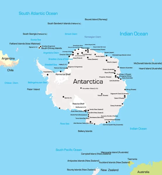
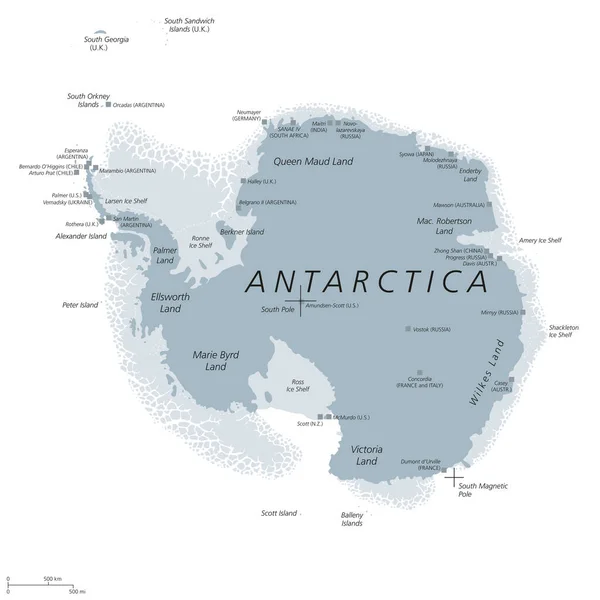
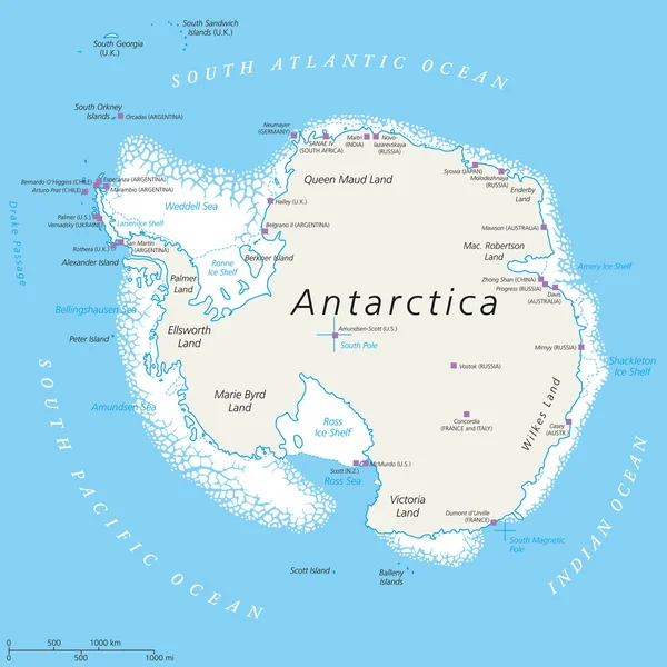
Antarctida, Antarctic Region Map Of Region Around The Earth S South Pole

Vector, 5.77MB, 5000 × 5000 eps
stock vector Isometric 3d Antarctica flora and fauna map elements. Animals, b

Isometric 3d Antarctica Flora And Fauna Map Elements. Animals, B

Vector, 2.44MB, 5621 × 4500 eps
stock vector Antarctica map blue white card paper 3D vector

Antarctica Map Blue White Card Paper 3D Vector

Vector, 3.51MB, 4044 × 3957 eps
stock vector Antarctica map. Blank vector map of the Country. Borders of Antarctica for your infographic. Vector illustration.

Antarctica Map. Blank Vector Map Of The Country. Borders Of Antarctica For Your Infographic. Vector Illustration.

Vector, 1.14MB, 6328 × 4779 eps
stock vector Mainland Antarctica map with wildlife, vector illustration in paper art style.

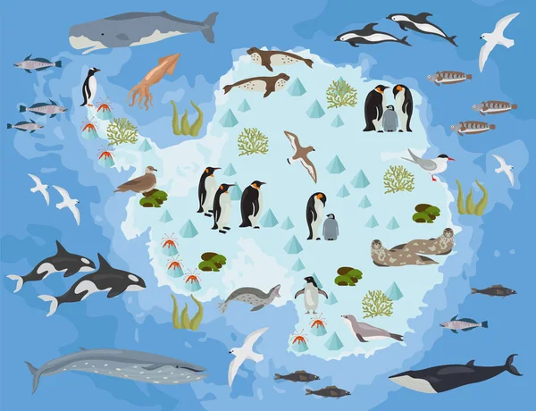
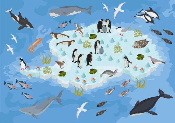
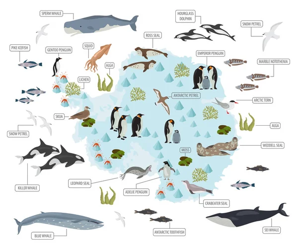
Mainland Antarctica Map With Wildlife, Vector Illustration In Paper Art Style.

Vector, 4.98MB, 5643 × 4430 eps
stock vector Antarctica hand drawn map, continent silhouette, stylized contour borders, black line.

Antarctica Hand Drawn Map, Continent Silhouette, Stylized Contour Borders, Black Line.

Vector, 0.39MB, 4000 × 4000 eps
stock vector Hi Detail Black Vector Political World Map illustration

Hi Detail Black Vector Political World Map Illustration

Vector, 10.4MB, 9000 × 5000 eps
stock vector Funny cartoon world map with childrens of different nationalities, animals and monuments of all the continents and oceans. Names in spanish.

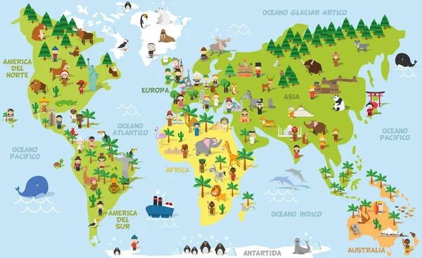
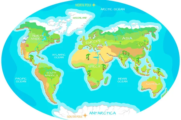
Funny Cartoon World Map With Childrens Of Different Nationalities, Animals And Monuments Of All The Continents And Oceans. Names In Spanish.

Vector, 13.76MB, 9000 × 5500 eps
stock vector Antarctica Map

Antarctica Map

Vector, 15.07MB, 7000 × 7000 eps
stock vector World map

World Map

Vector, 8.64MB, 10000 × 7065 ai
stock vector Simplified blank schematic map of World. Political map of countries with generalized borders. Simple flat vector illustration

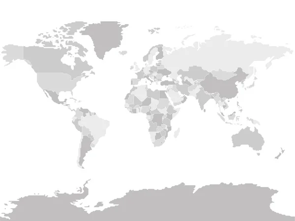
Simplified Blank Schematic Map Of World. Political Map Of Countries With Generalized Borders. Simple Flat Vector Illustration

Vector, 1.18MB, 8000 × 6000 eps
stock vector World Map Color Political - Vector Detailed Illustration

World Map Color Political - Vector Detailed Illustration

Vector, 50.63MB, 5945 × 4005 eps
stock vector World Map Vintage Political - Vector Illustration

World Map Vintage Political - Vector Illustration

Vector, 39.88MB, 6001 × 3669 eps
stock vector Political world map on white background, with every state labeled and selectable (labeled in Layers panel also). Versatile file, turn on an off visibility and color of each country in one click.

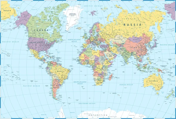
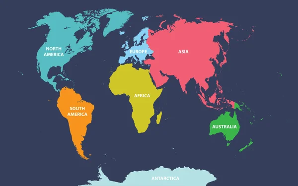
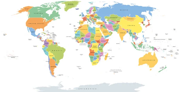
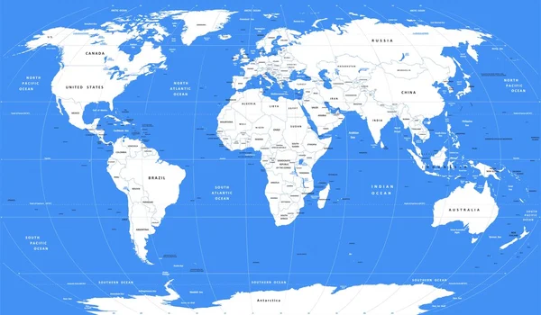
Political World Map On White Background, With Every State Labeled And Selectable (labeled In Layers Panel Also). Versatile File, Turn On An Off Visibility And Color Of Each Country In One Click.

Vector, 9MB, 6349 × 3869 eps
stock vector Antarctic, Antarctica,  flora and fauna map, flat elements. Anim

Antarctic, Antarctica, Flora And Fauna Map, Flat Elements. Anim

Vector, 1.36MB, 5381 × 4500 eps
stock image Antarctica map icon isolated on white background. Travel worldwide concept

Antarctica Map Icon Isolated On White Background. Travel Worldwide Concept

Image, 1.08MB, 6000 × 6000 jpg
stock vector Black map of the world.

Black Map Of The World.

Vector, 1.37MB, 8527 × 4952 ai
stock vector World single states political map

World Single States Political Map

Vector, 6.72MB, 11000 × 5649 eps
stock vector Flat Shadow World map with globes

Flat Shadow World Map With Globes

Vector, 8.98MB, 6500 × 5035 eps
stock vector Animals and Where They Live. Our Planet. Earth.

Animals And Where They Live. Our Planet. Earth.

Vector, 9.94MB, 5000 × 3400 eps
stock vector World map elements. Build your own geography info graphic collection. Vector illustration

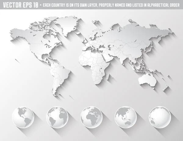
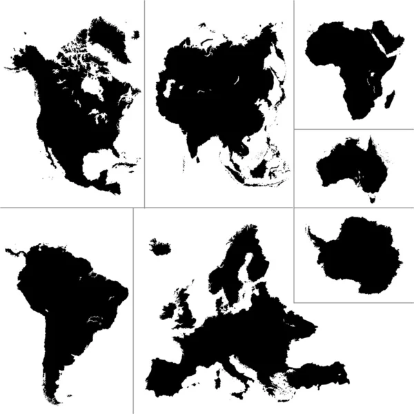
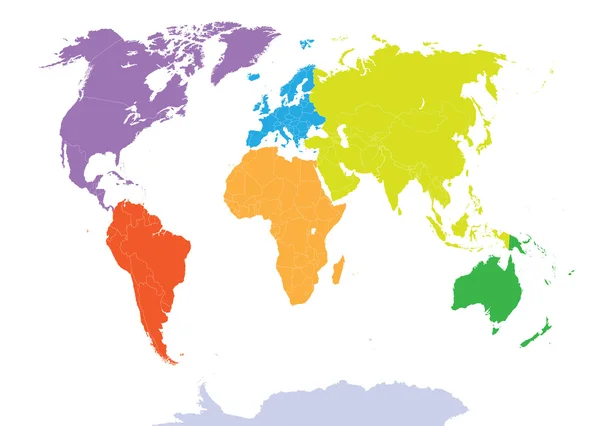
World Map Elements. Build Your Own Geography Info Graphic Collection. Vector Illustration

Vector, 1.02MB, 5407 × 4500 eps
stock vector Antarctic, Antarctica,  flora and fauna map, flat elements. Anim

Antarctic, Antarctica, Flora And Fauna Map, Flat Elements. Anim

Vector, 1.05MB, 4500 × 4500 eps
stock vector Political vector map of Argentina with all regions and their capitals

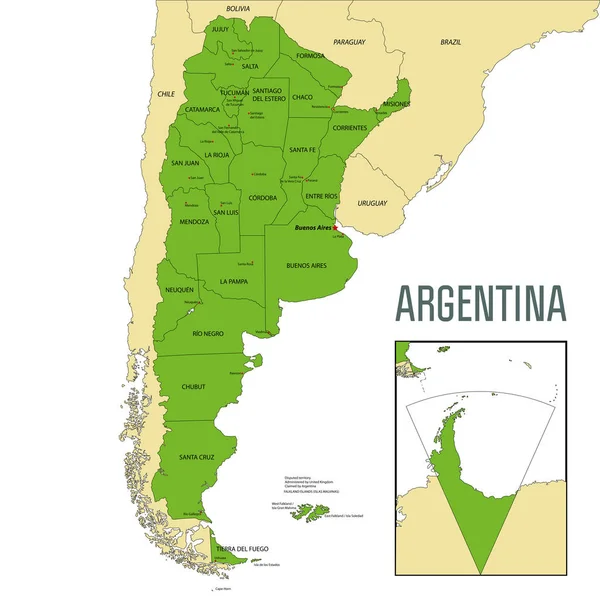
Political Vector Map Of Argentina With All Regions And Their Capitals

Vector, 9.28MB, 7000 × 7000 eps
stock vector Vector low poly polar station and icebreaker

Vector Low Poly Polar Station And Icebreaker

Vector, 1.36MB, 10933 × 5280 eps
stock vector Map of World dark grey vector silhouette. High detailed map on light background

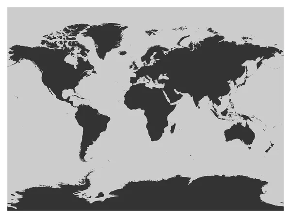
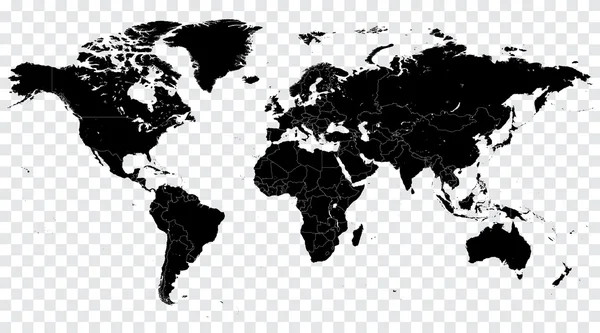
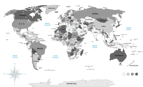
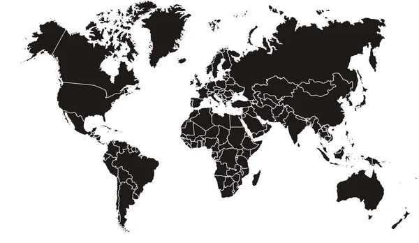
Map Of World Dark Grey Vector Silhouette. High Detailed Map On Light Background

Vector, 1.75MB, 8000 × 6000 eps
stock vector Funny cartoon world map with traditional animals of all the continents and oceans. Vector illustration.

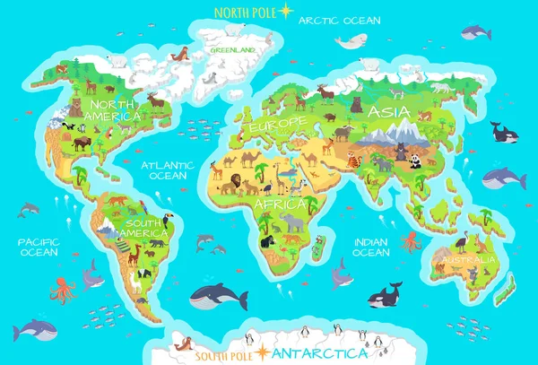
Funny Cartoon World Map With Traditional Animals Of All The Continents And Oceans. Vector Illustration.

Vector, 8.91MB, 9000 × 5500 eps
stock vector Vector white World map

Vector White World Map

Vector, 13.52MB, 5136 × 3000 eps
stock vector Funny cartoon world map

Funny Cartoon World Map

Vector, 3.79MB, 6526 × 4912 eps
stock vector World Political Map Outline

World Political Map Outline

Vector, 3.8MB, 9000 × 4603 eps
stock vector Doodle Map of Antarctica

Doodle Map Of Antarctica

Vector, 6.02MB, 5983 × 5983 eps
Page 1 >> Next