photo free
Home Images Vectors Videos

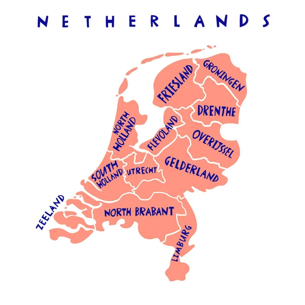
Stock vector Vector hand drawn Netherlands cities map. Netherlands Kingdom travel illustration. Geography illustration. Europe map element

Stock vector Vector hand drawn Netherlands cities map. Netherlands Kingdom travel illustration. Geography illustration. Europe map element
Published: Dec.10, 2021 07:50:07
Author: chipurkolubov.rambler.ru
Views: 0
Downloads: 0
File type: vector / eps
File size: 0.42 MB
Orginal size: 4000 x 4000 px
Available sizes:
S
(500 x 500)
M
(1000 x 1000)
L
(2000 x 2000)
XL
(4000 x 4000)
VECT
(4000 x 4000)
EL0
(4000 x 4000)
Level: bronze
Download Vector
Vector topics:

Similar stock vectors

stock vector Vector hand drawn Netherlands states map. Netherlands Kingdom travel illustration. Geography illustration. Europe map element

Vector Hand Drawn Netherlands States Map. Netherlands Kingdom Travel Illustration. Geography Illustration. Europe Map Element

4000 × 4000
stock vector Detailed vector map of Netherlands and capital city Amsterdam

Detailed Vector Map Of Netherlands And Capital City Amsterdam

5867 × 5867
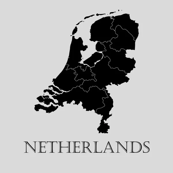
stock vector Black Netherlands map - vector illustration

Black Netherlands Map - Vector Illustration

6000 × 6000
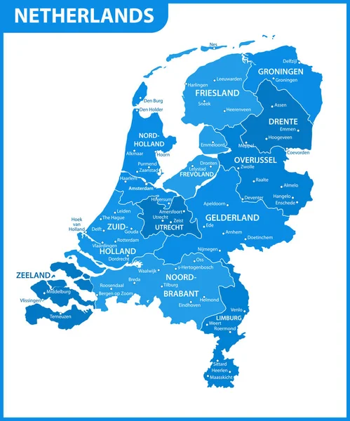
stock vector The detailed map of Netherlands with regions or states and cities, capital. Administrative division.

The Detailed Map Of Netherlands With Regions Or States And Cities, Capital. Administrative Division.

5000 × 6000
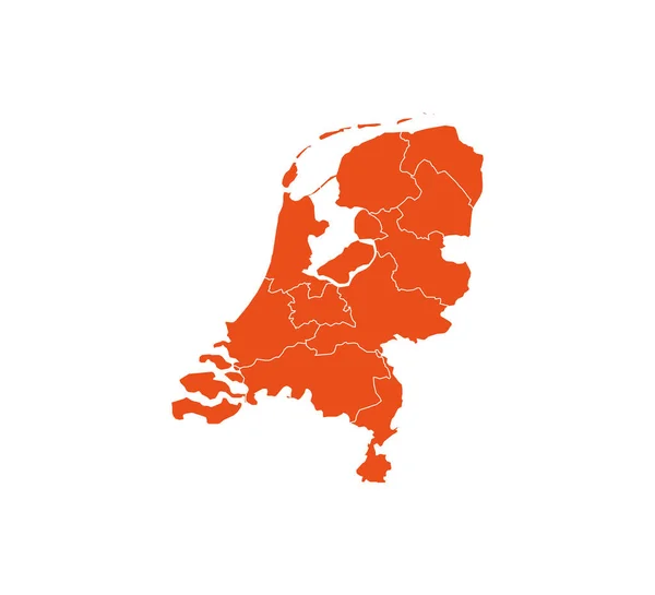
stock vector Netherland map, states border map. Vector illustration.

Netherland Map, States Border Map. Vector Illustration.

4584 × 4167
stock vector Netherlands

Netherlands

4750 × 5342
stock vector Vector hand drawn Netherlands capitals cities map. Netherlands Kingdom travel illustration. Geography illustration. Europe map element

Vector Hand Drawn Netherlands Capitals Cities Map. Netherlands Kingdom Travel Illustration. Geography Illustration. Europe Map Element

4000 × 4000
stock vector  Netherlands map icon. Vector illustration.

Netherlands Map Icon. Vector Illustration.

4167 × 4167