Home
Images
Vectors
Videos
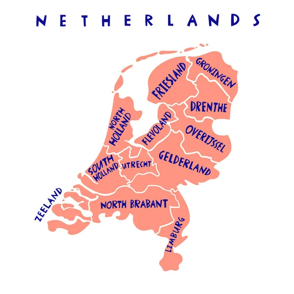
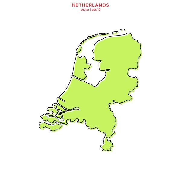
Stock vector Vector hand drawn Netherlands capitals cities map. Netherlands Kingdom travel illustration. Geography illustration. Europe map element
Published:
Dec.10, 2021 07:50:07
Author:
chipurkolubov.rambler.ru
Views:
1
Downloads:
0
File type:
vector
/
eps
File size:
0.46 MB
Orginal size:
4000
x
4000
px
Available sizes:
S
(500 x 500)
M
(1000 x 1000)
L
(2000 x 2000)
XL
(4000 x 4000)
VECT
(4000 x 4000)
EL0
(4000 x 4000)
Level:
bronze
Download Vector
Vector topics:
Vector
Background
Illustration
Design
Isolated
Shape
Sign
Travel
Border
Icon
Simple
World
Euro
Netherlands
Holland
Tourism
Capital
North
Europe
Sketch
Country
Map
Cartography
Geography
National
Continent
Land
Boundary
Political
Administrative
Kingdom
Atlas
Dutch
Nation
Amsterdam
Rotterdam
Lettering
Haarlem
Limburg
Maastricht
Middelburg
Utrecht
Groningen
Capital City
Hand Drawn
Zwolle
Hand Written
The Hague
Similar stock vectors
Vector Hand Drawn Netherlands States Map. Netherlands Kingdom Travel Illustration. Geography Illustration. Europe Map Element
4000 × 4000
Netherlands Political Map Vector Illustration
2912 × 2380
Vector Hand Drawn Netherlands Cities Map. Netherlands Kingdom Travel Illustration. Geography Illustration. Europe Map Element
4000 × 4000
Netherlands Map Vector Illustration
2722 × 2333
Netherlands Country Map. Black Silhouette And Outline Isolated On White Background. EPS Vector
10418 × 8334
Green Map Of Netherlands With Outline Vector Design Template. Editable Stroke
5000 × 5000
Outline Map Of Netherlands. Vector Illustration.
5000 × 5000
Map Of Netherlands
3174 × 5041