photo free
Home Images Vectors Videos

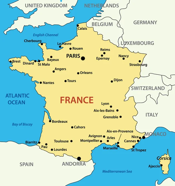
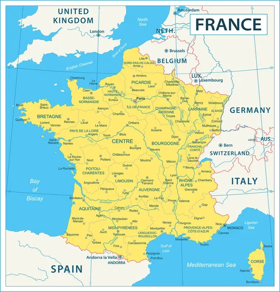
Stock vector Vector highly detailed political map of France with regions and their capitals. All elements are separated in editable layers clearly labeled. EPS 10
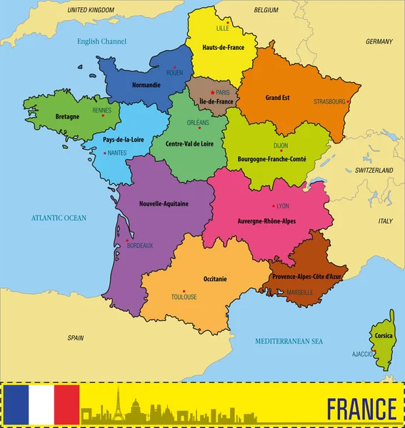
Stock vector Vector highly detailed political map of France with regions and their capitals. All elements are separated in editable layers clearly labeled. EPS 10
Published: Jul.09, 2018 15:51:05
Author: zlatovlaska2008
Views: 967
Downloads: 0
File type: vector / eps
File size: 2.58 MB
Orginal size: 5500 x 5811 px
Available sizes:
S
(473 x 500)
M
(946 x 1000)
L
(1893 x 2000)
XL
(5500 x 5811)
VECT
(5500 x 5811)
EL0
(5500 x 5811)
Level: beginner
Download Vector
Vector topics:

Similar stock vectors

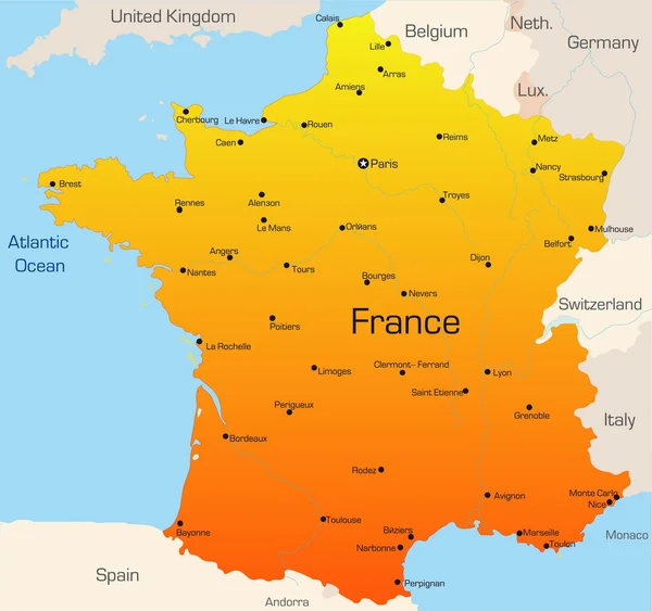
stock vector Colorful France political map with clearly labeled, separated layers. Vector illustration.

Colorful France Political Map With Clearly Labeled, Separated Layers. Vector Illustration.

4791 × 4652
stock vector France

France

5886 × 5525
stock vector Map of France - vector illustration

Map Of France - Vector Illustration

2278 × 2428
stock vector France Map - Vintage Vector Illustration

France Map - Vintage Vector Illustration

5500 × 5743
stock vector France

France

3521 × 3305
stock vector Map of France - high details vector illustration

Map Of France - High Details Vector Illustration

5705 × 5946
stock vector Map of France

Map Of France

3921 × 4081
stock vector Highly detailed vector map of France with main regions,cities,roads and neighbour countries.

Highly Detailed Vector Map Of France With Main Regions,cities,roads And Neighbour Countries.

5000 × 4665