Home
Images
Vectors
Videos
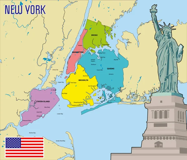
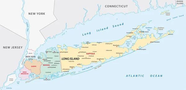
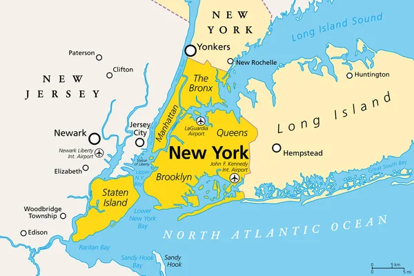
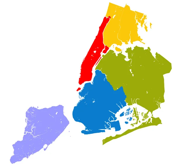
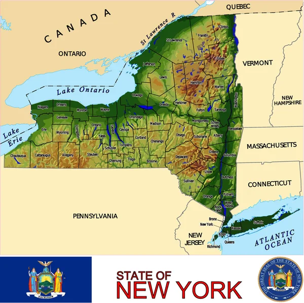
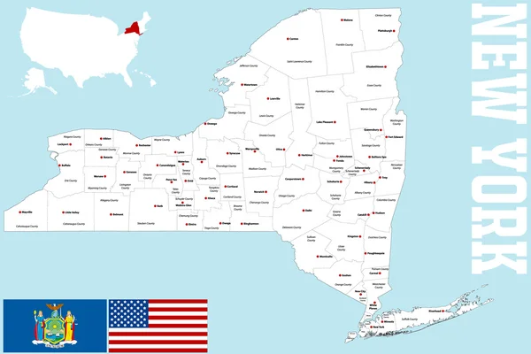
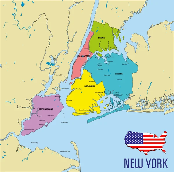
Stock vector Vector highly detailed political map of New York with all regions, roads and rivers. All elements are separated in editable layers clearly labeled.EPS 10
Published:
Jul.09, 2018 15:49:01
Author:
zlatovlaska2008
Views:
375
Downloads:
3
File type:
vector
/
eps
File size:
8.47 MB
Orginal size:
7000
x
6960
px
Available sizes:
S
(500 x 497)
M
(1000 x 994)
L
(2000 x 1989)
XL
(7000 x 6960)
VECT
(7000 x 6960)
EL0
(7000 x 6960)
Level:
beginner
Download Vector
Vector topics:
Vector
Illustration
New
Travel
Border
Flag
Road
River
Drawing
World
Usa
Ocean
Capital
Country
Map
Geography
Pacific
Continent
Land
America
Island
Political
Administrative
Atlantic
Airport
United
Washington
English
Manhattan
Nation
Cuba
Iceland
Bronx
Brooklyn
Queens
Mississippi
Harlem
New York
North America
United States
Gulf Of Mexico
Staten Island
East River
Long Beach
Hudson Bay
Washington D C
State Of Usa
Map Of New York
Lower Bay
Different States
Similar stock vectors
Vector Highly Detailed Political Map Of New York With All Regions, Roads And Rivers. All Elements Are Separated In Editable Layers Clearly Labeled.EPS 10
7000 × 6958
Vector Highly Detailed Political Map Of New York With All Regions, Roads And Rivers. All Elements Are Separated In Editable Layers Clearly Labeled.EPS 10
8126 × 7000
Long Iceland Map
6331 × 3100
Map Of The Counties In The Four Divisions Of The New York Metropolitan Area
3949 × 3100
New York City, Political Map. Most Populous City In The United States, Located In The State Of New York. Manhattan, Bronx, Queens, Brooklyn And Staten Island. English Labeling. Illustration. Vector.
9000 × 6000
Five Boroughs Of NYC.
5000 × 4743
New York Counties Emblem Map
4019 × 4000
New York County Map
5000 × 3335