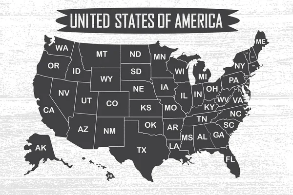
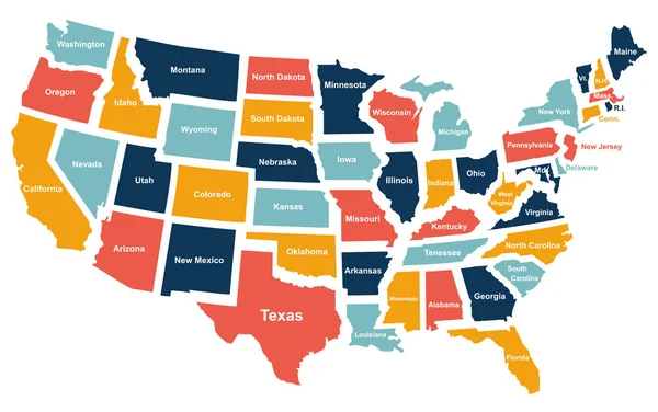
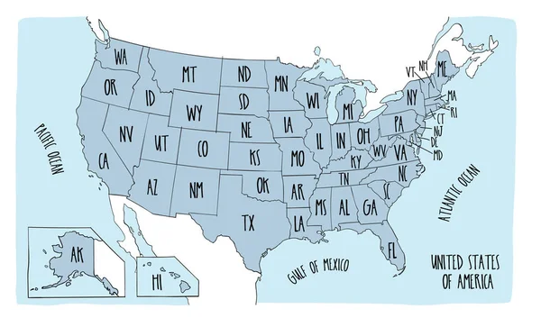
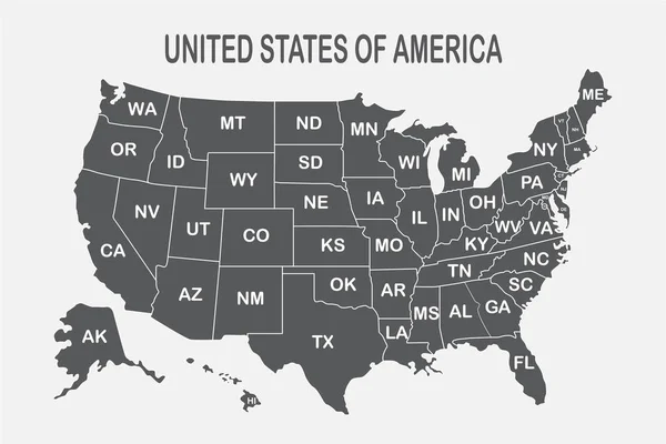
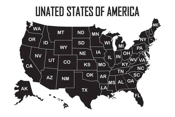
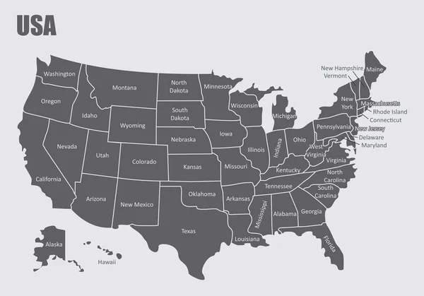
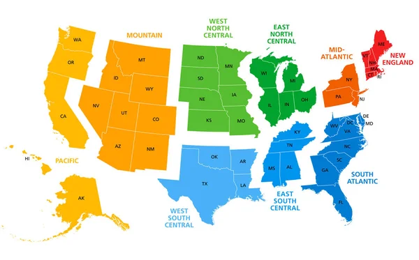
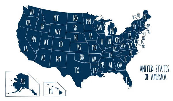
Stock vector Vector illustration map of the USA
Published: Feb.05, 2018 07:40:47
Author: LaraFields
Views: 41
Downloads: 3
File type: vector / eps
File size: 4.26 MB
Orginal size: 6000 x 3529 px
Available sizes:
Level: beginner