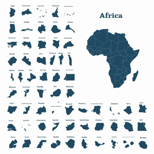
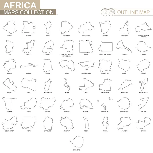
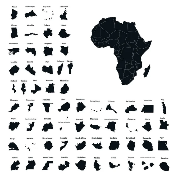
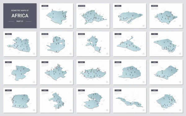
Stock vector Vector isometric maps set - Africa continent. Maps of African countries with administrative division and cities. Part 1.
Published: Oct.15, 2020 07:23:48
Author: molokowall
Views: 8
Downloads: 1
File type: vector / eps
File size: 12.03 MB
Orginal size: 5600 x 3500 px
Available sizes:
Level: bronze