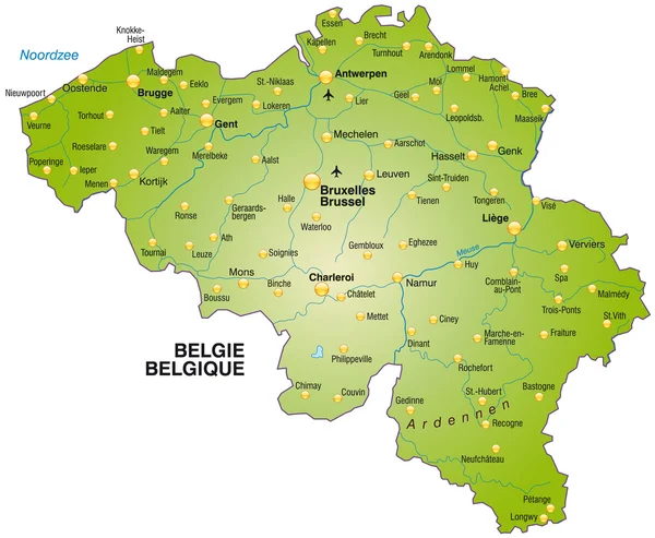
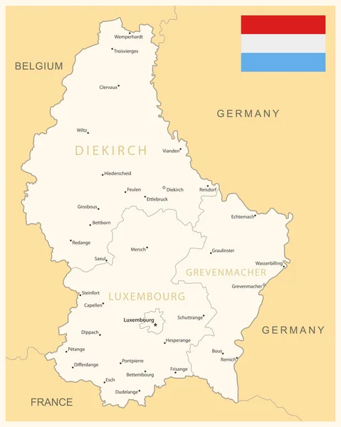
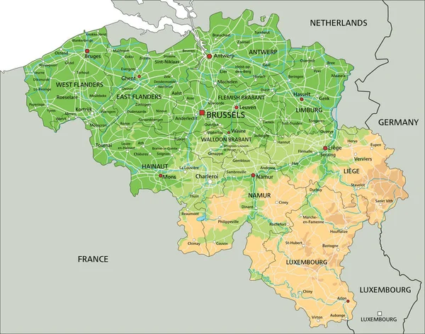
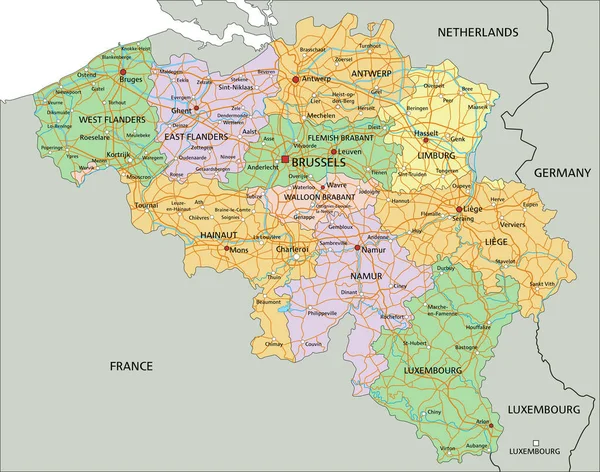
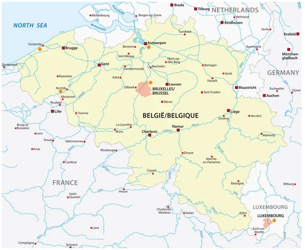
Stock vector vector map of belgium with main cities
Published: May.18, 2021 13:26:26
Author: Lesniewski
Views: 40
Downloads: 2
File type: vector / eps
File size: 1.34 MB
Orginal size: 3781 x 3100 px
Available sizes:
Level: bronze