Home
Images
Vectors
Videos
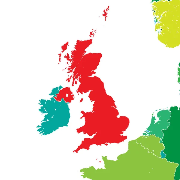
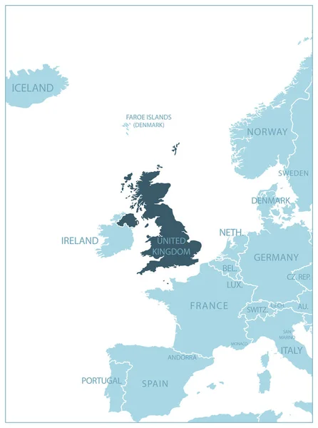
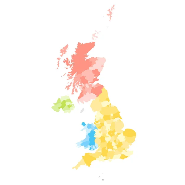
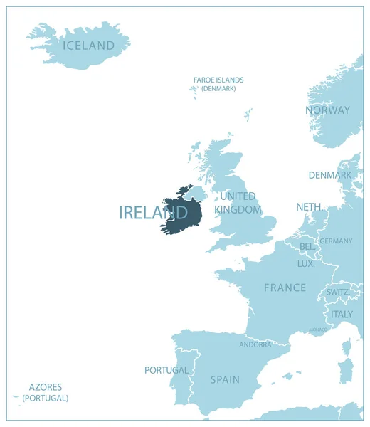
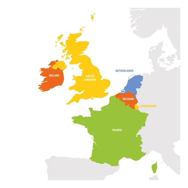
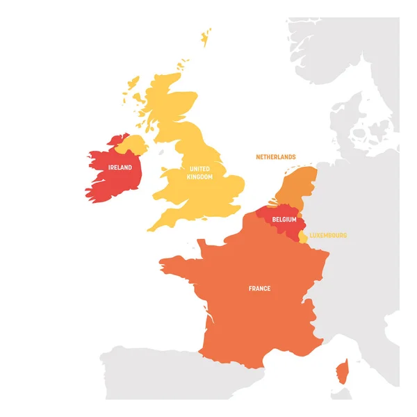
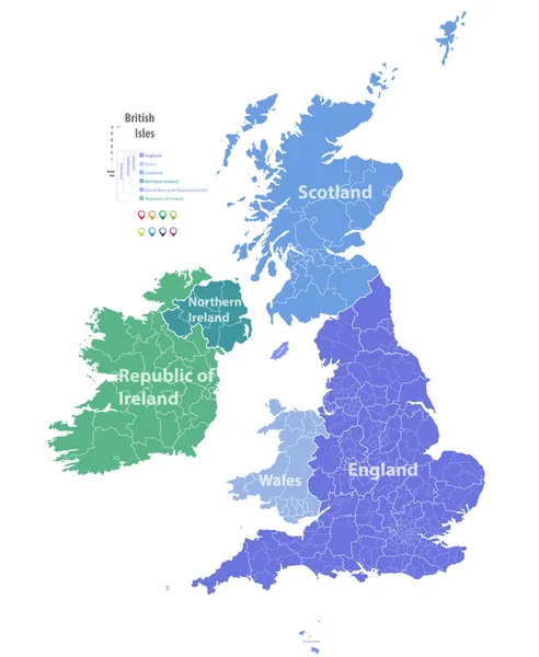
Stock vector vector map of British Isles
Published:
Aug.22, 2016 05:35:48
Author:
Jktu_21
Views:
735
Downloads:
41
File type:
vector
/
eps
File size:
7.63 MB
Orginal size:
5979
x
7292
px
Available sizes:
S
(410 x 500)
M
(820 x 1000)
L
(1640 x 2000)
XL
(5979 x 7292)
VECT
(5979 x 7292)
EL0
(5979 x 7292)
Level:
silver
Download Vector
Vector topics:
Map
Ireland
Britain
London
British
England
Yorkshire
Merseyside
Wales
Scotland
County
Staffordshire
Cornwall
Derbyshire
Kent
Hampshire
Cheshire
Lancashire
Essex
Glasgow
Devon
Surrey
Somerset
Belfast
Cardiff
Hertfordshire
Bedfordshire
Great Britain
United Kingdom
Nottinghamshire
City Of London
Northern Ireland
Leicestershire
North Yorkshire
West Midlands
Greater London
Tyne And Wear
West Yorkshire
United Kingdom Flag
South East England
Greater Manchester
South Yorkshire
Great Britain Map
Scotland Map
England Map
Location Icons
Northern Ireland Map
United Kingdom Map
Britain Map
British Isles Map
Similar stock vectors
Brexit Map Of United Kingdom. Vector Illustration Template For Wall Art And Marketing In Square Format.
8000 × 8000
United Kingdom - Blue Map With Neighboring Countries And Names. Vector Illustration
4910 × 6595
United Kingdom Of Great Britain And Northern Ireland, UK. Metropolitan And Non-metropolitan Counties And Unitary Authorities Of England, Districts Of Northern Ireland, Council Areas Of Scotland
8000 × 8000
Ireland - Blue Map With Neighboring Countries And Names. Vector Illustration
5265 × 6065
West Europe Region. Map Of Countries In Western Europe. Vector Illustration
6000 × 6000
West Europe Region. Map Of Countries In Western Europe. Vector Illustration
6000 × 6000
Ireland On World Globe With Flag And Regional Map Of Ireland.
5000 × 5000