photo free
Home Images Vectors Videos

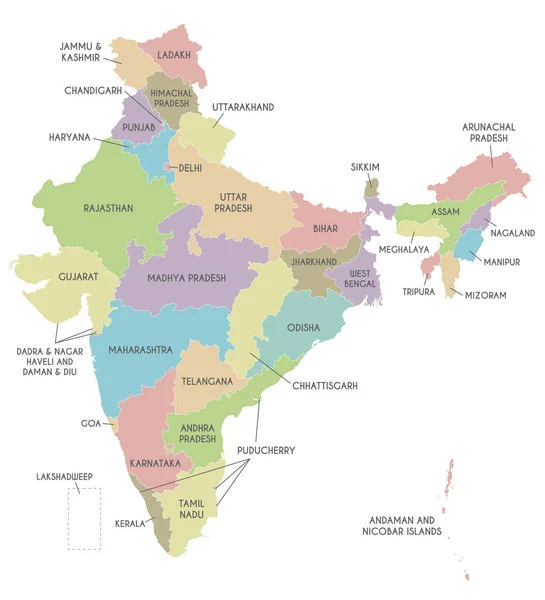
Stock vector Vector map of India with states and territories and administrative divisions. Editable and clearly labeled layers.
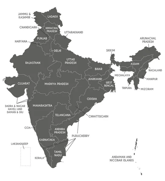
Stock vector Vector map of India with states and territories and administrative divisions. Editable and clearly labeled layers.
Published: Jul.09, 2022 02:57:45
Author: asantosg
Views: 9
Downloads: 1
File type: vector / eps
File size: 2.4 MB
Orginal size: 4250 x 4675 px
Available sizes:
S
(455 x 500)
M
(909 x 1000)
L
(1818 x 2000)
XL
(4250 x 4675)
VECT
(4250 x 4675)
EL0
(4250 x 4675)
Level: bronze
Download Vector
Vector topics:

Similar stock vectors

stock vector Vector map of India with states and territories and administrative divisions. Editable and clearly labeled layers.

Vector Map Of India With States And Territories And Administrative Divisions. Editable And Clearly Labeled Layers.

4250 × 4675
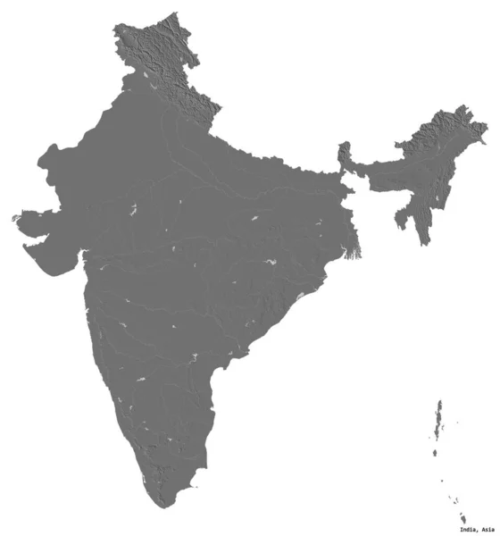
stock image Shape of India with its capital isolated on white background. Bilevel elevation map. 3D rendering

Shape Of India With Its Capital Isolated On White Background. Bilevel Elevation Map. 3D Rendering

2159 × 2312
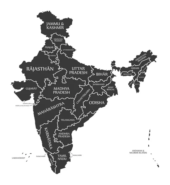
stock vector Black map of India with names of regions, design blackboard vector

Black Map Of India With Names Of Regions, Design Blackboard Vector

4137 × 4000
stock image Daman and Diu red highlighted in map of India

Daman And Diu Red Highlighted In Map Of India

5800 × 6334
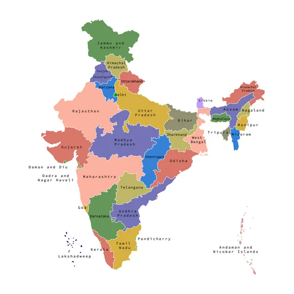
stock vector Vector illustration of administrative division map of India. Vector map.

Vector Illustration Of Administrative Division Map Of India. Vector Map.

4500 × 4500
stock vector India Map labelled black

India Map Labelled Black

5000 × 5454
stock image Andaman and Nicobar Islands red highlighted in map of India

Andaman And Nicobar Islands Red Highlighted In Map Of India

5800 × 6334
stock vector Vector blank map of India with states and territories and administrative divisions. Editable and clearly labeled layers.

Vector Blank Map Of India With States And Territories And Administrative Divisions. Editable And Clearly Labeled Layers.

4250 × 4675