Home
Images
Vectors
Videos
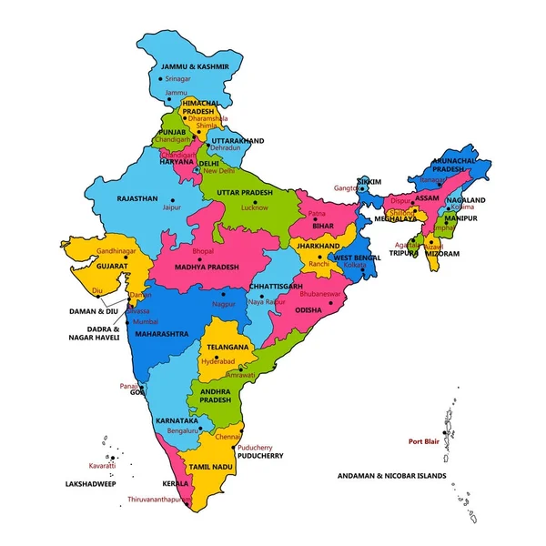
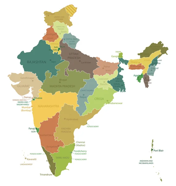
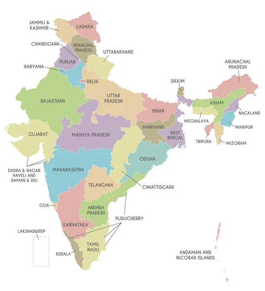
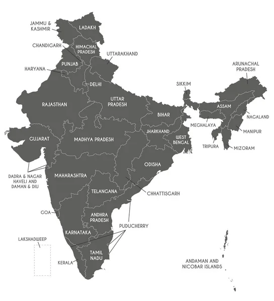
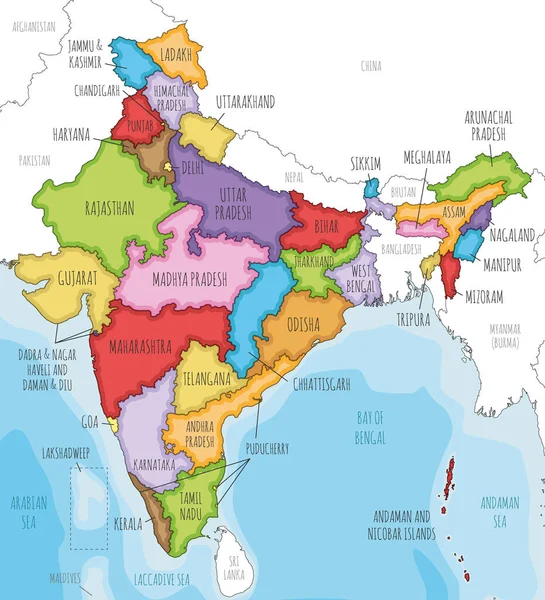
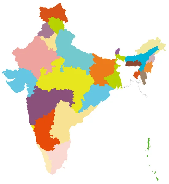
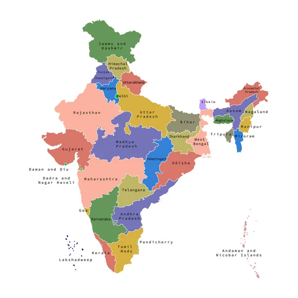
Stock vector Vector illustration of administrative division map of India. Vector map.
Published:
Oct.15, 2019 12:41:26
Author:
kolibrico
Views:
136
Downloads:
6
File type:
vector
/
eps
File size:
1.81 MB
Orginal size:
4500
x
4500
px
Available sizes:
S
(500 x 500)
M
(1000 x 1000)
L
(2000 x 2000)
XL
(4500 x 4500)
VECT
(4500 x 4500)
EL0
(4500 x 4500)
Level:
beginner
Download Vector
Vector topics:
Color
Vector
Background
Colorful
Graphic
Illustration
Design
Shape
Travel
Detail
Border
Backdrop
Concept
Digital
Contour
Presentation
Surface
Tourism
Asian
South
Outline
Country
District
Map
Cartography
Geography
Area
National
Land
Asia
State
Location
Boundary
Political
Administrative
India
Delhi
Region
Division
Indian
Territory
Atlas
Province
Nation
Geographical
Regional
Infographic
Similar stock vectors
High Quality Colorful Labeled Map Of India With Borders Of The States
4000 × 4000
Detailed Map Of India, Asia With All States And Country Boundary
5000 × 5000
India - Highly Detailed Map.
4751 × 5001
Vector Map Of India With States And Territories And Administrative Divisions. Editable And Clearly Labeled Layers.
4250 × 4675
Vector Map Of India With States And Territories And Administrative Divisions. Editable And Clearly Labeled Layers.
4250 × 4675
Vector Illustrated Map Of India With States And Territories And Administrative Divisions, And Neighbouring Countries. Editable And Clearly Labeled Layers.
4250 × 4675
India Map Colorful Country Icon
4521 × 4521
Map Of India
4000 × 4350