Home
Images
Vectors
Videos
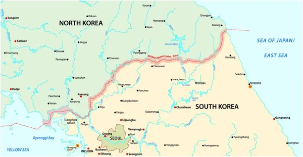
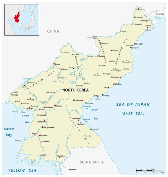
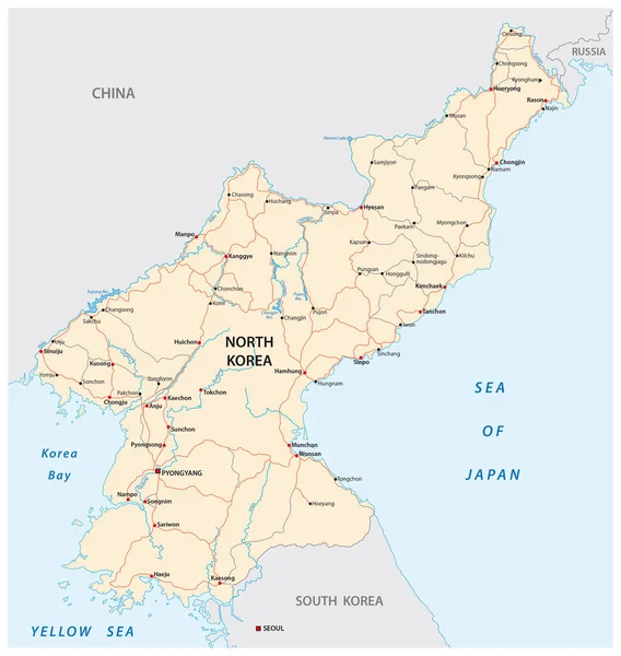
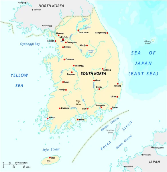
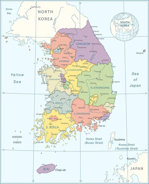
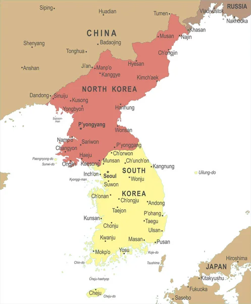
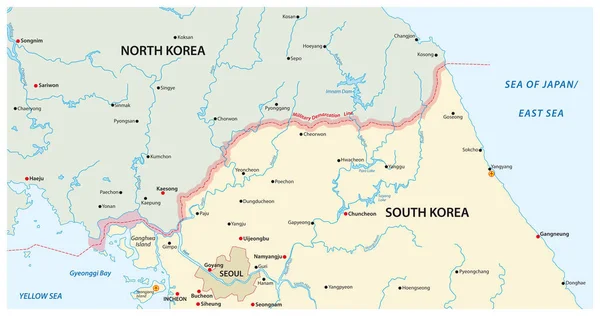
Stock vector vector map of the border region between north and south korea
Published:
Oct.12, 2020 07:25:54
Author:
Lesniewski
Views:
23
Downloads:
3
File type:
vector
/
eps
File size:
1.67 MB
Orginal size:
5878
x
3100
px
Available sizes:
S
(500 x 264)
M
(1000 x 527)
L
(2000 x 1055)
XL
(5878 x 3100)
VECT
(5878 x 3100)
EL0
(5878 x 3100)
Level:
bronze
Download Vector
Vector topics:
Color
Vector
Graphic
Illustration
Design
Shape
Travel
Detail
Border
River
City
Contour
Education
Ocean
Detailed
Capital
North
Economy
Asian
Russia
Military
Journey
Outline
Country
Map
Cartography
Geography
National
Trip
Lake
Asia
State
Topography
Location
Island
Airport
Republic
Seoul
Nation
Demarcation
Infographic
East Asia
North Korea
South Korea
Yellow Sea
Demarcation Line
Korea Bay
Sea Of Japan East Sea
Similar stock vectors
Vector Map Of The Border Region Between North And South Korea
4000 × 3725
Vector Map Of Democratic Peoples Republic Of Korea, North Korea
3100 × 3268
Vector Map Of The Yellow Sea Between China, North Korea And South Korea
4056 × 3100
North Korea And Surrounding Countries Map
4896 × 6650
North Korea Road Vector Map
3100 × 3268
Vector Map Of The Republic Of Korea
3978 × 4000
Map Of South Korea - Highly Detailed Vector Illustration
4871 × 5981
Korean Peninsula Map - Vector Illustration
5500 × 6632