Home
Images
Vectors
Videos
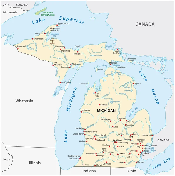
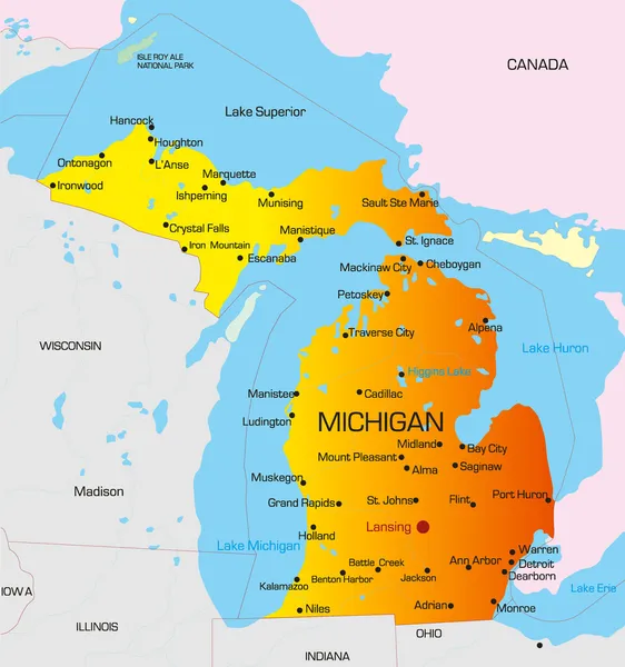
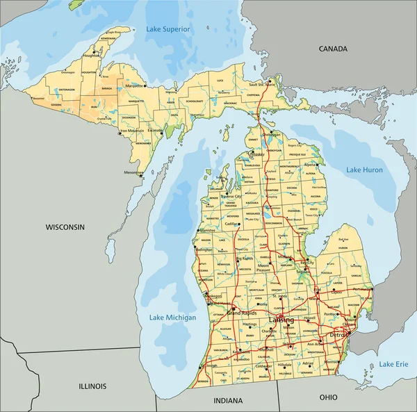
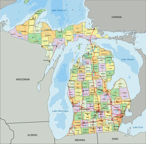
Stock vector Vector Map of the U.S. state of Michigan
Published:
Apr.03, 2020 16:58:28
Author:
PantherMediaSeller
Views:
9
Downloads:
1
File type:
vector
/
zip
File size:
0 MB
Orginal size:
3996
x
4000
px
Available sizes:
S
(500 x 500)
M
(999 x 1000)
L
(1998 x 2000)
XL
(3996 x 4000)
VECT
(3996 x 4000)
EL0
(3996 x 4000)
Level:
platinum
Download Vector
Vector topics:
Color
Blue
Background
Graphic
Illustration
New
Travel
Border
Frame
River
City
S
American
Coast
Ocean
Tourism
North
Outline
Map
Cartography
Geography
National
Land
Lake
Superior
State
Topography
Location
America
Canada
Of
Community
States
The
Cities
Lakes
Indiana
Mapping
Erie
Towns
Michigan
Illinois
Regions
Ohio
Oklahoma
Detroit
Huron
Topographical
Lansing
Great Lakes
Similar stock vectors
Vector Map Of The U.S. State Of Michigan
3100 × 3121
Michigan
3392 × 3619
Michigan - Vector Map Of State
5409 × 5475
Michigan, MI, Political Map, With Capital Lansing And Metropolitan Area Detroit. State In Great Lakes Region Of Upper Midwestern United States, Nicknamed The Great Lake State, And The Wolverine State.
6000 × 6000
Michigan, MI, Gray Political Map With Capital Lansing And Metropolitan Area Detroit. State In The Great Lakes Region Of Upper Midwestern United States, Nicknamed Great Lake State, And Wolverine State.
6000 × 6000
High Detailed Michigan Physical Map With Labeling.
5872 × 5807
Michigan - Highly Detailed Editable Political Map With Labeling.
5872 × 5807
Lake Michigan Map, Vector Illustration
4208 × 6576