Home
Images
Vectors
Videos
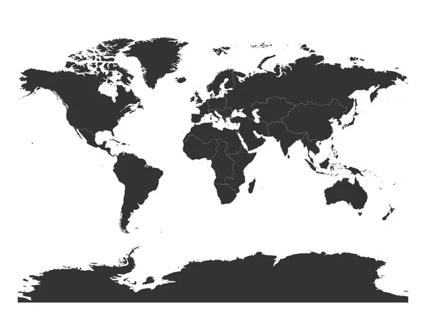
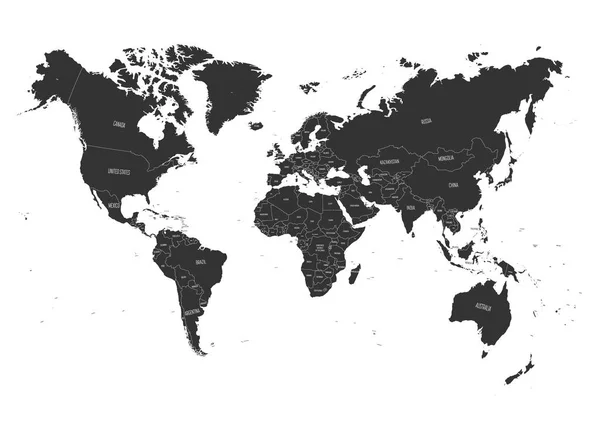
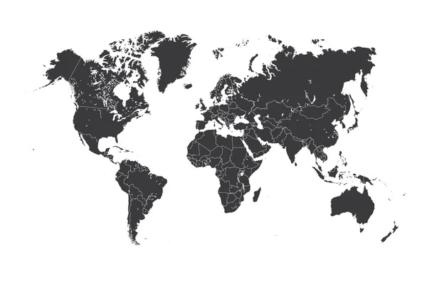
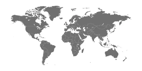
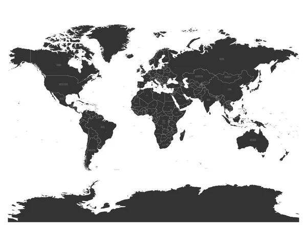
Stock vector Vector political map of World with capital cities
Published:
Dec.21, 2017 09:32:11
Author:
pyty
Views:
49
Downloads:
4
File type:
vector
/
eps
File size:
7.31 MB
Orginal size:
6000
x
4500
px
Available sizes:
S
(500 x 375)
M
(1000 x 750)
L
(2000 x 1500)
XL
(6000 x 4500)
VECT
(6000 x 4500)
EL0
(6000 x 4500)
Level:
silver
Download Vector
Vector topics:
Vector
Backgrounds
Graphic
Illustration
Design
Isolated
Business
Travel
Black
Dark
Silhouette
Square
Modern
Gray
Dot
City
Blank
Global
Contour
Grey
Earth
World
Ocean
Science
North
Europe
Globe
East
South
Point
Country
Map
Cartography
Geography
Africa
Continent
Land
Worldwide
Asia
America
International
Australia
Political
Atlas
Capitals
World Map
Capital City
Capital Cities
Map Of World
Political Map
Similar stock vectors
Map Of World Divided Into Regions. Simple Flat Vector Illustration
6000 × 4500
World Map. High Detail Political Map With Country Name Labels. Vector Illustration
6000 × 4485
Map Of The World With A Selected Country Of Dominican Republic
4167 × 2778
World Map Vector Abstract Illustration
8334 × 4167
Map Of The World With A Selected Country Of Panama
4167 × 2778
Map Of The World With A Selected Country Of Sri Lanka
4167 × 2778
Map Of The World With A Selected Country Of Puerto Rico
4167 × 2778
Map Of The World With A Selected Country Of Togo
4167 × 2778