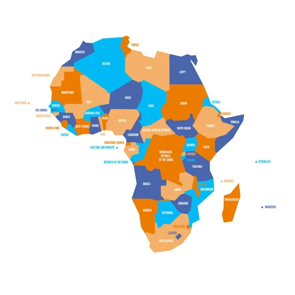
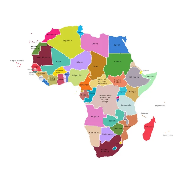
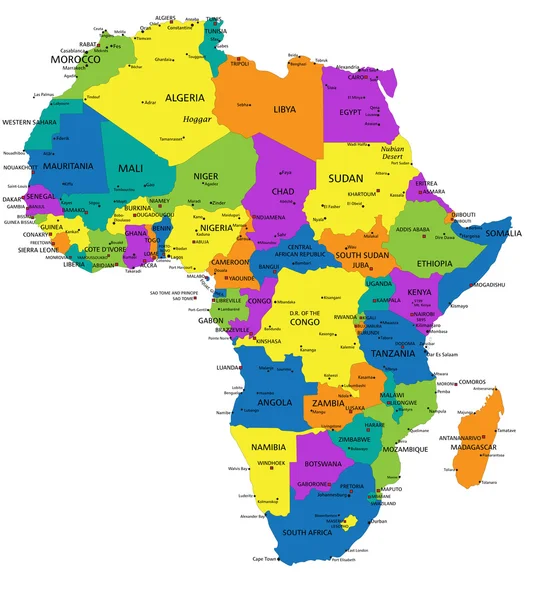
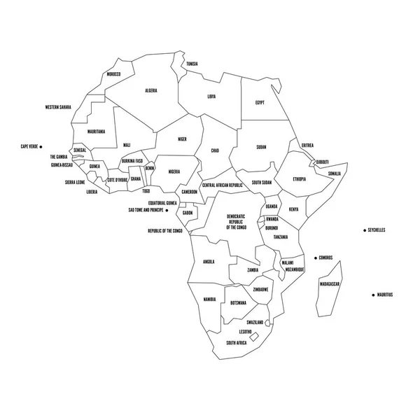
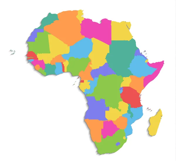
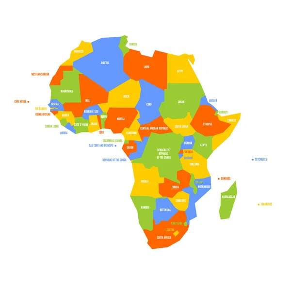
Stock vector Very simplified infographical political map of Africa. Simple geometric vector illustration
Published: Mar.03, 2018 14:31:51
Author: pyty
Views: 95
Downloads: 0
File type: vector / eps
File size: 0.84 MB
Orginal size: 6000 x 6000 px
Available sizes:
Level: silver