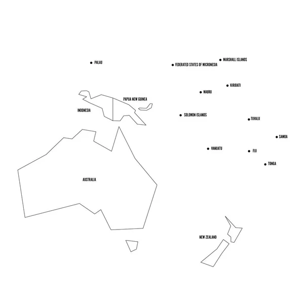
Stock vector Very simplified infographical political map of Australia and Oceania. Simple geometric vector illustration

Published: Mar.16, 2018 14:44:54
Author: pyty
Views: 12
Downloads: 0
File type: vector / eps
File size: 0.43 MB
Orginal size: 6000 x 6000 px
Available sizes:
Level: silver
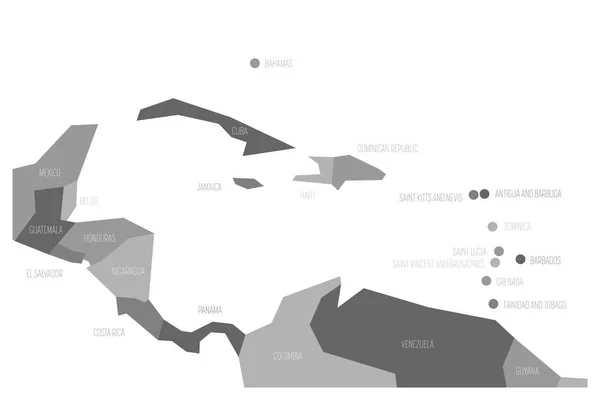
Similar stock vectors

Very Simplified Infographical Political Map Of Australia And Oceania. Simple Geometric Vector Illustration
6000 × 6000
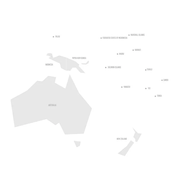
Very Simplified Infographical Political Map Of Australia And Oceania. Simple Geometric Vector Illustration
6000 × 6000