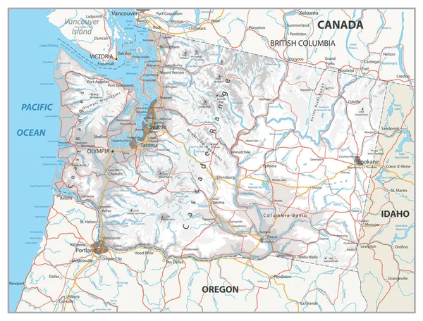
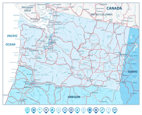
Stock vector Washington state map in colors of blue and navigation icons
Published: Mar.14, 2017 13:59:32
Author: Cartarium
Views: 5
Downloads: 0
File type: vector / eps
File size: 7.49 MB
Orginal size: 8192 x 6667 px
Available sizes:
Level: bronze