photo free
Home Images Vectors Videos

Stock vector Washington state map navigation set in colors of blue
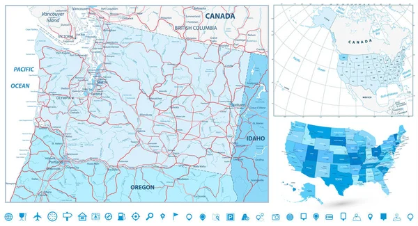
Stock vector Washington state map navigation set in colors of blue
Published: Mar.14, 2017 13:59:52
Author: Cartarium
Views: 56
Downloads: 1
File type: vector / eps
File size: 11.62 MB
Orginal size: 8192 x 4439 px
Available sizes:
S
(500 x 271)
M
(1000 x 542)
L
(2000 x 1084)
XL
(8192 x 4439)
VECT
(8192 x 4439)
EL0
(8192 x 4439)
Level: bronze
Download Vector
Vector topics:

Similar stock vectors

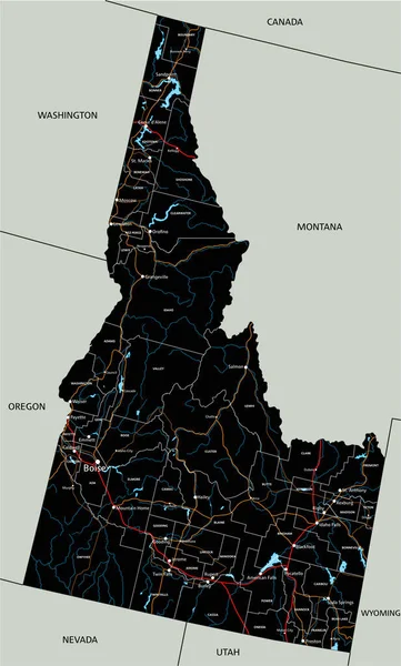
stock vector High detailed Idaho road map with labeling.

High Detailed Idaho Road Map With Labeling.

3455 × 5727
stock image Shape of Arkansas, state of Mainland United States, and its capital. Distance scale, previews and labels. Satellite imagery. 3D rendering

Shape Of Arkansas, State Of Mainland United States, And Its Capital. Distance Scale, Previews And Labels. Satellite Imagery. 3D Rendering

2880 × 1620
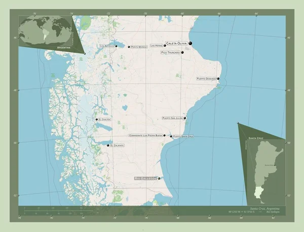
stock image Santa Cruz, province of Argentina. Open Street Map. Locations and names of major cities of the region. Corner auxiliary location maps

Santa Cruz, Province Of Argentina. Open Street Map. Locations And Names Of Major Cities Of The Region. Corner Auxiliary Location Maps

4930 × 3770
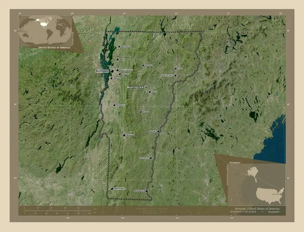
stock image Vermont, state of United States of America. High resolution satellite map. Locations and names of major cities of the region. Corner auxiliary location maps

Vermont, State Of United States Of America. High Resolution Satellite Map. Locations And Names Of Major Cities Of The Region. Corner Auxiliary Location Maps

4930 × 3770
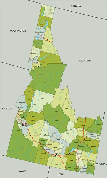
stock vector Highly detailed editable political map with separated layers. Idaho.

Highly Detailed Editable Political Map With Separated Layers. Idaho.

3455 × 5727
stock image Shape of North Dakota, state of Mainland United States, and its capital. Distance scale, previews and labels. Satellite imagery. 3D rendering

Shape Of North Dakota, State Of Mainland United States, And Its Capital. Distance Scale, Previews And Labels. Satellite Imagery. 3D Rendering

2880 × 1620
stock image Shape of North Dakota, state of Mainland United States, with its capital isolated on solid background. Distance scale, region preview and labels. Bilevel elevation map. 3D rendering

Shape Of North Dakota, State Of Mainland United States, With Its Capital Isolated On Solid Background. Distance Scale, Region Preview And Labels. Bilevel Elevation Map. 3D Rendering

2880 × 1620
stock image Shape of North Dakota, state of Mainland United States, and its capital. Distance scale, previews and labels. Colored elevation map. 3D rendering

Shape Of North Dakota, State Of Mainland United States, And Its Capital. Distance Scale, Previews And Labels. Colored Elevation Map. 3D Rendering

2880 × 1620