Home
Images
Vectors
Videos
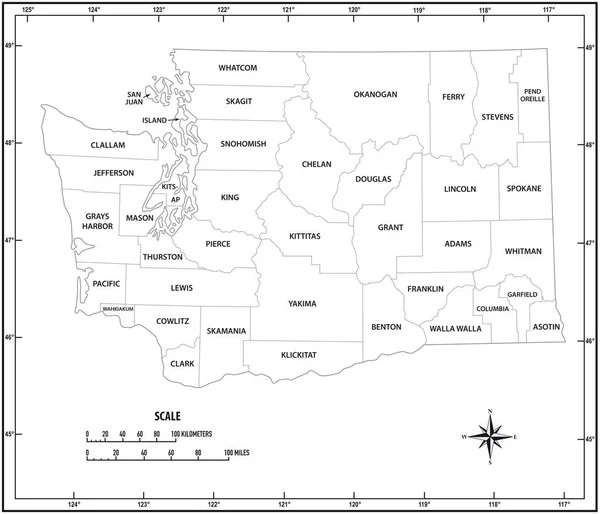
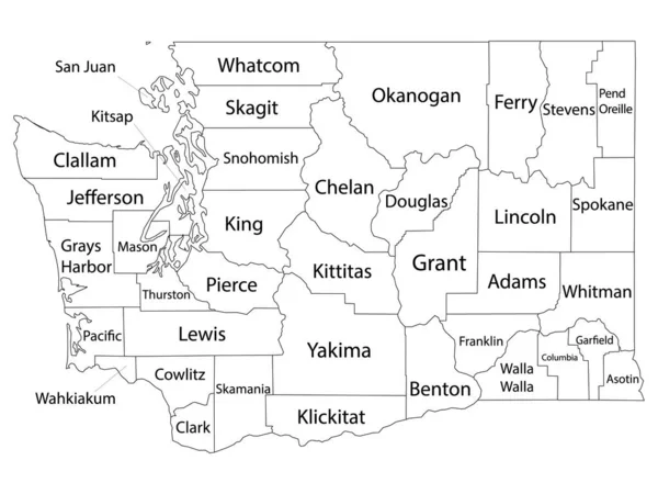
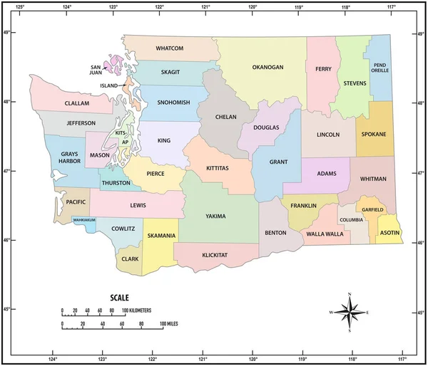
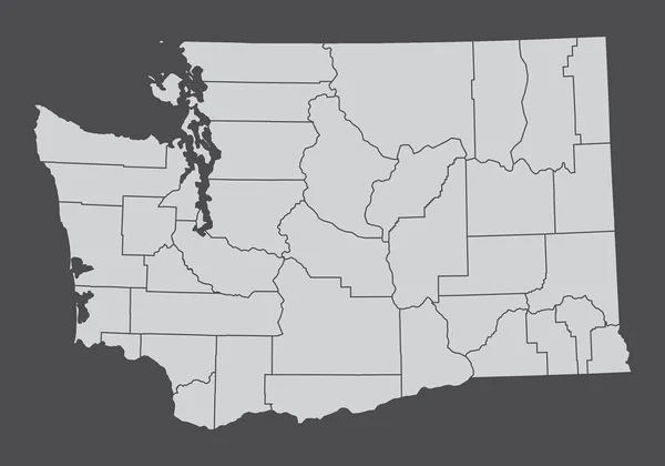
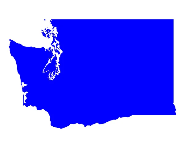
Stock vector washington state outline administrative and political vector map in black and white
Published:
Apr.17, 2020 08:15:31
Author:
PantherMediaSeller
Views:
0
Downloads:
0
File type:
vector
/
zip
File size:
0 MB
Orginal size:
4000
x
3914
px
Available sizes:
S
(500 x 489)
M
(1000 x 979)
L
(2000 x 1957)
XL
(4000 x 3914)
VECT
(4000 x 3914)
EL0
(4000 x 3914)
Level:
platinum
Download Vector
Vector topics:
White
Vector
Background
Graphic
Illustration
Design
Isolated
New
Travel
Black
Border
Symbol
Contour
Scale
Earth
American
Usa
Detailed
Globe
In
Outline
Country
District
Map
Cartography
Geography
State
America
Countries
Island
Political
Administrative
United
States
Washington
Region
Miles
And
Territory
Province
Nation
County
Mapping
Coordinates
Counties
North America
United States
North Arrow
Similar stock vectors
Washington State Outline Administrative And Political Vector Map
3616 × 3100
White Outline Counties Map With Counties Names Of US State Of Washington
4800 × 3600
Washington State Outline Administrative And Political Vector Map
3616 × 3100
The Washington State, USA. Administrative Map Isolated On Dark Background.
5000 × 3500
Idaho State Outline Administrative And Political Vector Map In Black And White
3100 × 3749
Oregon Administrative And Political Vector Map
4482 × 3100
Map Of Washington
5000 × 4000