photo free
Home Images Vectors Videos

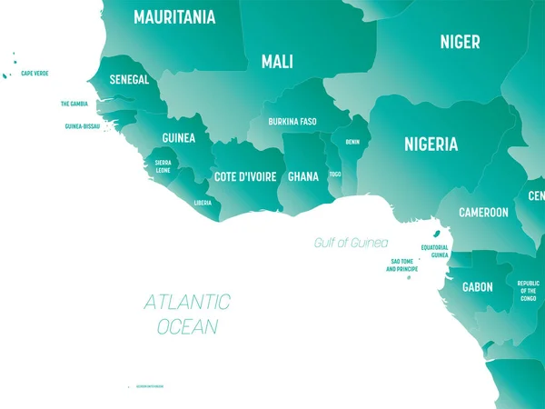
Stock vector Western Africa - high detailed political map of western african and Bay of Guinea region with country, ocean and sea names labeling.
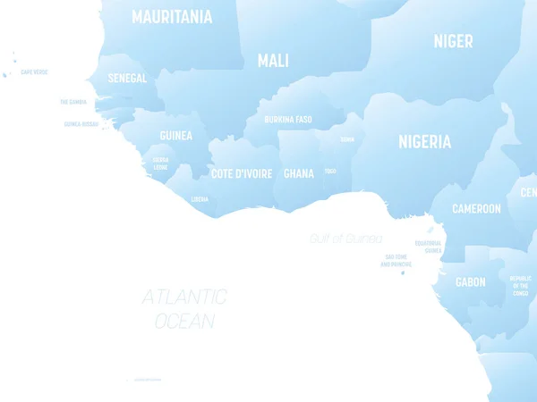
Stock vector Western Africa - high detailed political map of western african and Bay of Guinea region with country, ocean and sea names labeling.
Published: Oct.25, 2022 21:42:59
Author: pyty
Views: 1
Downloads: 0
File type: vector / eps
File size: 1.3 MB
Orginal size: 8000 x 6000 px
Available sizes:
S
(500 x 375)
M
(1000 x 750)
L
(2000 x 1500)
XL
(8000 x 6000)
VECT
(8000 x 6000)
EL0
(8000 x 6000)
Level: silver
Download Vector
Vector topics:

Similar stock vectors

stock vector Western Africa - high detailed political map of western african and Bay of Guinea region with country, ocean and sea names labeling.

Western Africa - High Detailed Political Map Of Western African And Bay Of Guinea Region With Country, Ocean And Sea Names Labeling.

8000 × 6000
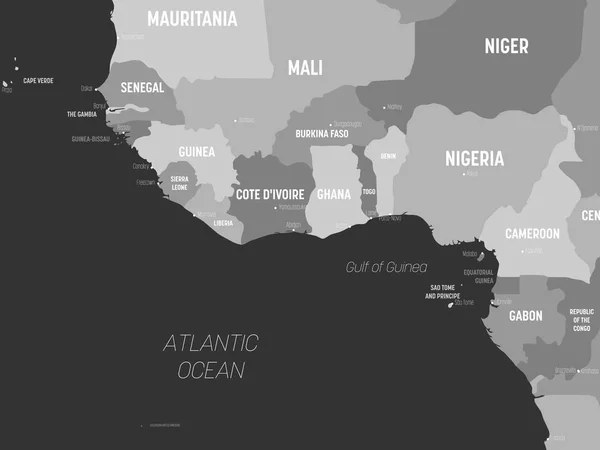
stock vector Western Africa map - grey colored on dark background. High detailed political map of western african and Bay of Guinea region with country, capital, ocean and sea names labeling

Western Africa Map - Grey Colored On Dark Background. High Detailed Political Map Of Western African And Bay Of Guinea Region With Country, Capital, Ocean And Sea Names Labeling

6000 × 4500
stock vector Western Africa detailed political map with lables

Western Africa Detailed Political Map With Lables

8000 × 6000
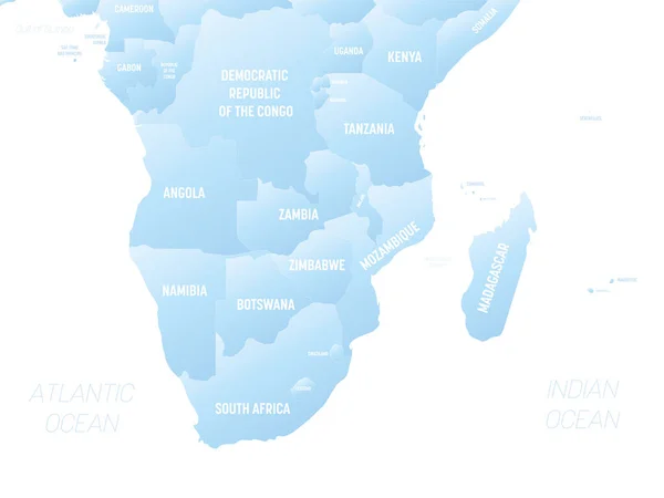
stock vector Southern Africa - high detailed political map of southern african region with country, ocean and sea names labeling.

Southern Africa - High Detailed Political Map Of Southern African Region With Country, Ocean And Sea Names Labeling.

8000 × 6000
stock vector Western Africa map - brown orange hue colored on dark background. High detailed political map of western african and Bay of Guinea region with country, ocean and sea names labeling

Western Africa Map - Brown Orange Hue Colored On Dark Background. High Detailed Political Map Of Western African And Bay Of Guinea Region With Country, Ocean And Sea Names Labeling

6000 × 4500
stock vector Western Africa detailed political map with lables

Western Africa Detailed Political Map With Lables

8000 × 6000
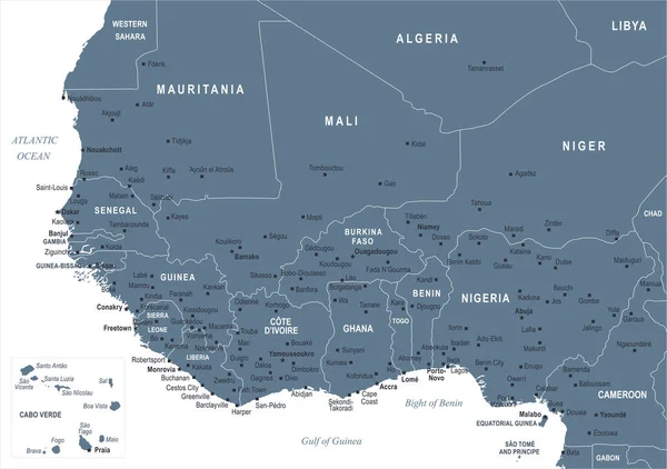
stock vector West Africa Map - Vector Illustration

West Africa Map - Vector Illustration

7813 × 5500
stock vector Northern Africa - high detailed political map of northern african rgion with country, ocean and sea names labeling.

Northern Africa - High Detailed Political Map Of Northern African Rgion With Country, Ocean And Sea Names Labeling.

8000 × 6000