Home
Images
Vectors
Videos
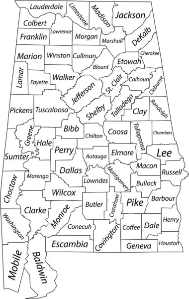
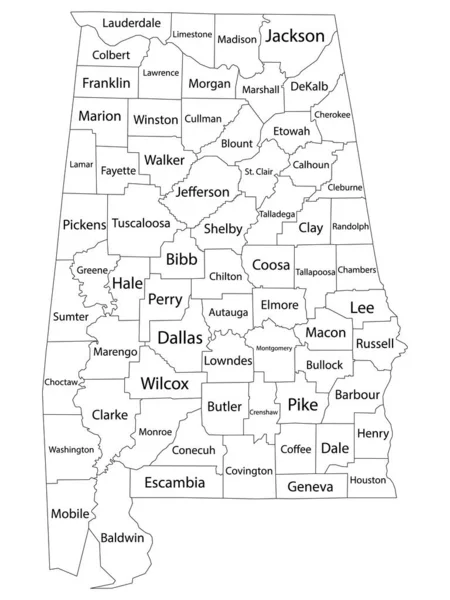
Stock vector White blank vector map of the Federal State of Alabama, USA with black borders and names of its counties
Published:
May.19, 2021 09:32:36
Author:
momcilo.jovanov
Views:
6
Downloads:
0
File type:
vector
/
eps
File size:
0.89 MB
Orginal size:
3807
x
6008
px
Available sizes:
S
(317 x 500)
M
(634 x 1000)
L
(1267 x 2000)
XL
(3807 x 6008)
VECT
(3807 x 6008)
EL0
(3807 x 6008)
Level:
bronze
Download Vector
Vector topics:
Vector
Illustration
Design
Sign
Travel
Mountain
Flag
Road
Position
Symbol
Icon
City
Usa
Journey
Outline
District
Direction
Map
Cartography
National
Land
State
Topography
Unity
Region
Division
Voting
Insignia
Election
Province
Coat Of Arms
Cut Out
Travel Destinations
National Flag
No People
Physical Geography
Line Art
Washington Dc
Eastern USA
Western USA
Contour Line
Relief Carving
Relief Map
Topographic Map
Flat Design
In Silhouette
Square Composition
Alabama Us State
Similar stock vectors
White Outline Counties Map With Counties Names Of US State Of Alabama
4800 × 6400
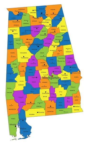
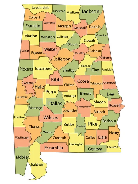
Pastel Vector Map Of The Federal State Of Alabama, USA With Black Borders And Names Of Its Counties
3807 × 6008
Colorful County Map With Counties Names Of The US Federal State Of Alabama
3600 × 4800
White Outline Counties Map With Counties Names Of US State Of Georgia
3600 × 4800
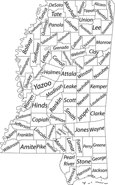
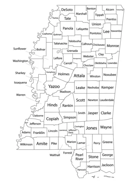
White Vector Map Of The Federal State Of Mississippi, USA With Black Borders And Name Tags Of Its Counties
3853 × 6206
White Outline Counties Map With Counties Names Of US State Of Mississippi
3600 × 4800
White Blank Vector Map Of The Federal State Of Arkansas, USA With Black Borders And Names Of Its Counties
5304 × 4544
Colorful Alabama Political Map With Clearly Labeled, Separated Layers. Vector Illustration.
3285 × 5317