Home
Images
Vectors
Videos
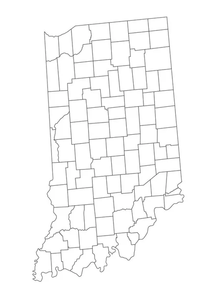
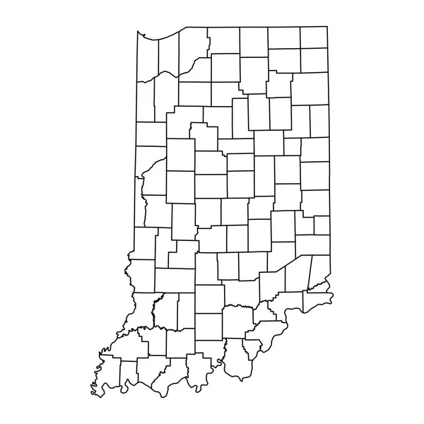
Stock vector White blank vector map of the Federal State of Indiana, USA with black borders of its counties
Published:
Jul.08, 2021 10:24:56
Author:
momcilo.jovanov
Views:
0
Downloads:
0
File type:
vector
/
eps
File size:
0.68 MB
Orginal size:
3986
x
6105
px
Available sizes:
S
(326 x 500)
M
(653 x 1000)
L
(1306 x 2000)
XL
(3986 x 6105)
VECT
(3986 x 6105)
EL0
(3986 x 6105)
Level:
bronze
Download Vector
Vector topics:
Vector
Illustration
Design
Sign
Travel
Mountain
Flag
Road
Position
Symbol
Icon
City
Usa
Journey
Outline
District
Direction
Map
Cartography
National
Land
State
Topography
Unity
Region
Division
Voting
Insignia
Election
Province
Indiana
Indianapolis
Coat Of Arms
Cut Out
Travel Destinations
National Flag
No People
Physical Geography
Line Art
Washington Dc
Eastern USA
Western USA
Contour Line
Relief Carving
Relief Map
Topographic Map
Flat Design
In Silhouette
Similar stock vectors
White Outline Counties Map Of US State Of Indiana
3600 × 4800
Highly Detailed Indiana Blind Map.
3392 × 4677
White Blank Vector Administrative Map Of The Federal State Of Ohio, USA With Black Borders Of Its Counties
4699 × 5107
Gray Outline Counties Map Of US State Of Indiana
3600 × 4800
Accurate Map Of Indiana
4000 × 5000
Indiana State Map With Counties. Vector Illustration.
8334 × 8334
Black Highlighted Location Map Of The Hoosier Scott County Inside Gray Map Of The Federal State Of Indiana, USA
3986 × 6105
Black Highlighted Location Map Of The Hoosier Posey County Inside Gray Map Of The Federal State Of Indiana, USA
3986 × 6105