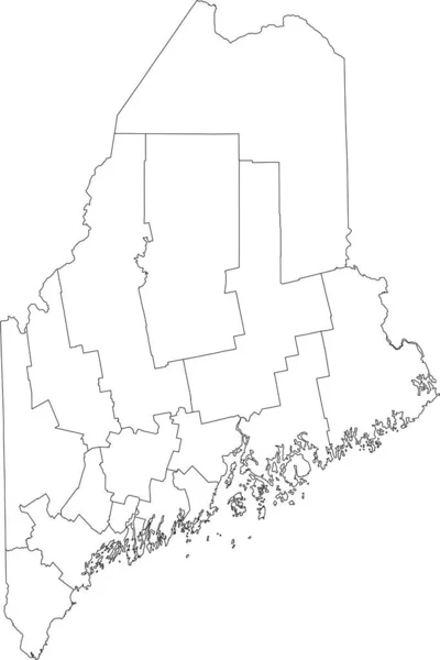
Stock vector White blank vector map of the Federal State of Maine, USA with black borders of its counties
Published: Sep.03, 2021 12:55:34
Author: momcilo.jovanov
Views: 3
Downloads: 0
File type: vector / eps
File size: 0.89 MB
Orginal size: 4007 x 6005 px
Available sizes:
Level: bronze
Similar stock vectors
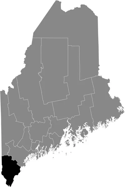
Black Highlighted Location Map Of The Lincoln County Inside Gray Map Of The Federal State Of Maine, USA
4007 × 6005
Black Highlighted Location Map Of The York County Inside Gray Map Of The Federal State Of Maine, USA
4007 × 6005

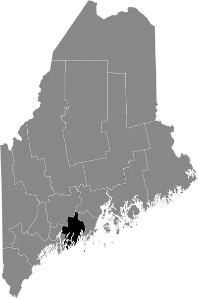
Black Highlighted Location Map Of The Sagadahoc County Inside Gray Map Of The Federal State Of Maine, USA
4007 × 6005

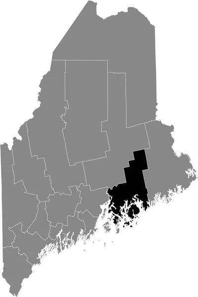
Black Highlighted Location Map Of The Knox County Inside Gray Map Of The Federal State Of Maine, USA
4007 × 6005
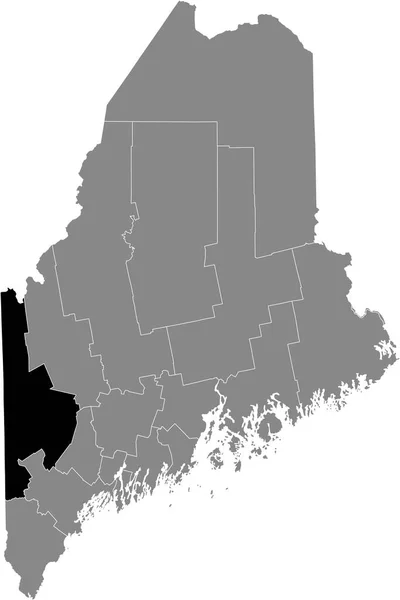
Black Highlighted Location Map Of The Oxford County Inside Gray Map Of The Federal State Of Maine, USA
4007 × 6005