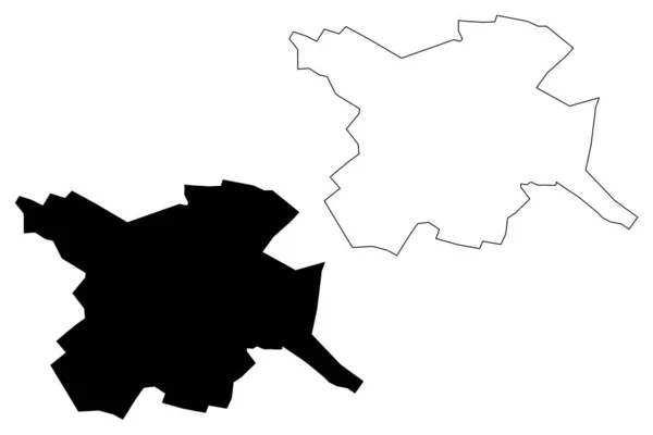
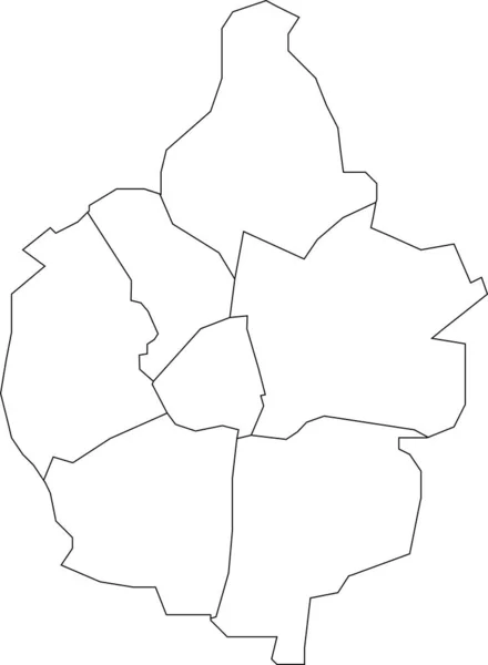
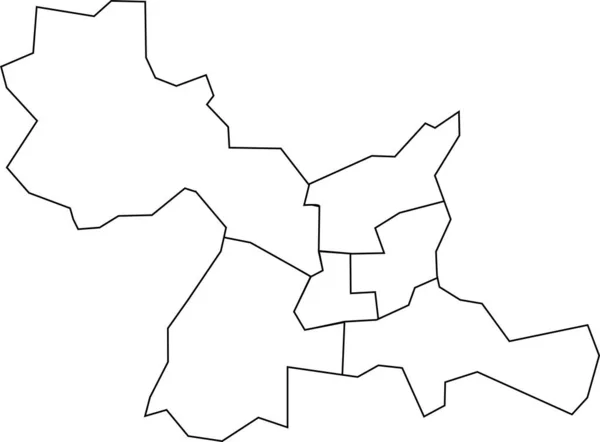
Stock vector White flat blank vector administrative map of GRONINGEN, NETHERLANDS with black border lines of its districts
Published: Feb.01, 2022 13:06:12
Author: momcilo.jovanov
Views: 2
Downloads: 0
File type: vector / eps
File size: 0.41 MB
Orginal size: 5812 x 4104 px
Available sizes:
Level: bronze
Similar stock vectors
White Flat Vector Administrative Map Of RENNES, FRANCE With Black Border Lines Of Its Cantons
5718 × 4221