Home
Images
Vectors
Videos
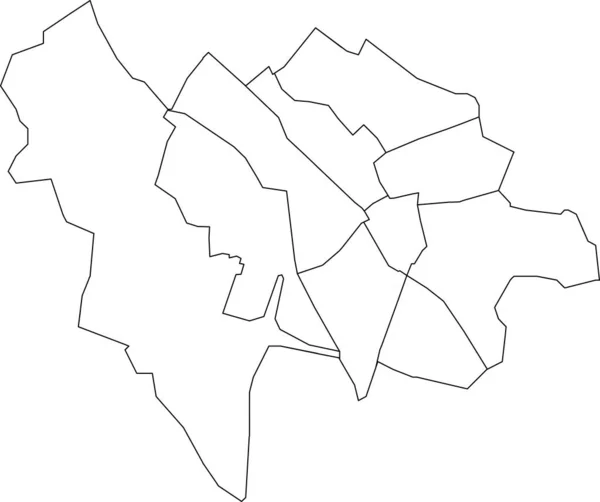
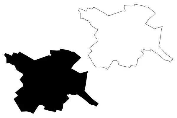
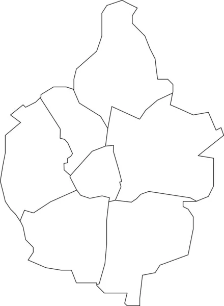
Stock vector White flat vector administrative map of RENNES, FRANCE with black border lines of its cantons
Published:
May.23, 2023 16:11:25
Author:
momcilo.jovanov
Views:
0
Downloads:
0
File type:
vector
/
eps
File size:
0.4 MB
Orginal size:
5718
x
4221
px
Available sizes:
S
(500 x 369)
M
(1000 x 738)
L
(2000 x 1476)
XL
(5718 x 4221)
VECT
(5718 x 4221)
EL0
(5718 x 4221)
Level:
bronze
Download Vector
Vector topics:
Vector
Curve
Illustration
Design
Sign
Travel
Transportation
Mountain
Car
Road
Traffic
Symbol
Icon
City
House
Data
Planning
Street
Highway
Town
Journey
Outline
Direction
Map
Cartography
Land
Patriotism
Asphalt
Government
Community
Infographic
Road Sign
Coat Of Arms
European Union
Travel Destinations
Residential District
No People
Global Positioning System
Physical Geography
Road Trip
Construction Industry
Road Marking
Road Map
Navigational Equipment
Road Intersection
Transparent Background
Plan Document
Landscape Scenery
Borough District Type
Rennes France
Similar stock vectors
White Flat Blank Vector Administrative Map Of ZOETERMEER, NETHERLANDS With Black Border Lines Of Its Districts
5815 × 4030
White Flat Blank Vector Administrative Map Of MAASTRICHT, NETHERLANDS With Black Border Lines Of Its Districts
4192 × 5710
White Flat Blank Vector Administrative Map Of GRONINGEN, NETHERLANDS With Black Border Lines Of Its Districts
5812 × 4104
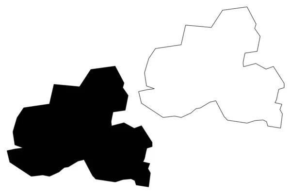
White Flat Blank Vector Administrative Map Of ENSCHEDE, NETHERLANDS With Black Border Lines Of Its Districts
5205 × 4697
Tuzla City (Bosnia And Herzegovina, Bosnia Herzegovina) Map Vector Illustration, Scribble Sketch City Of Tuzla Map
7087 × 4726
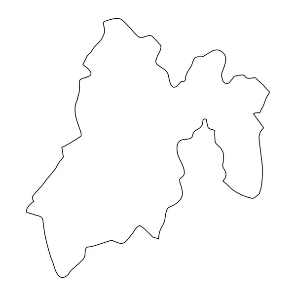
State Of Mexico Map, Administrative Division Of The Country Of Mexico. Vector Illustration.
8334 × 8334
White Flat Blank Vector Administrative Map Of UTRECHT, NETHERLANDS With Black Border Lines Of Its Quarters
5410 × 4533
Taraz City (Republic Of Kazakhstan, Jambyl Region) Map Vector Illustration, Scribble Sketch City Of Talas Map
7087 × 4726